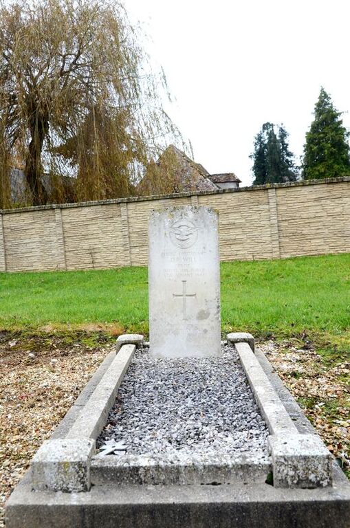
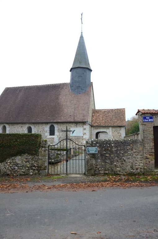
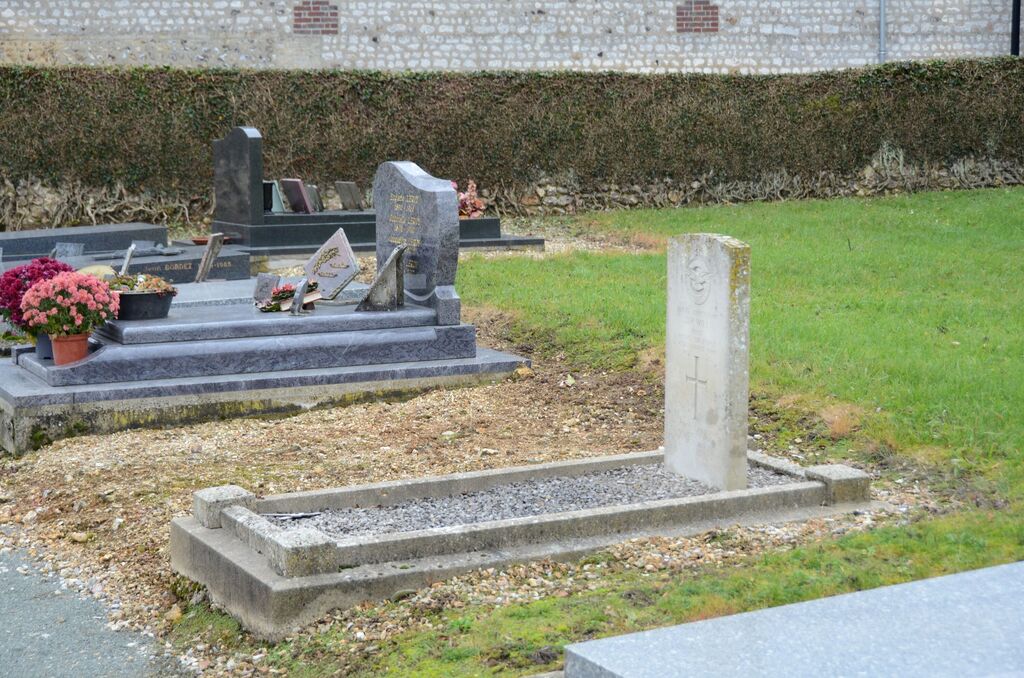
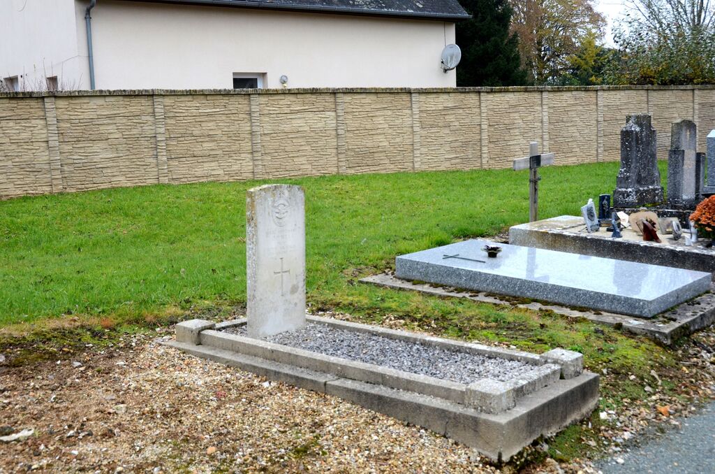
Le Thuit Churchyard
- Country France
- Total identified casualties 1 Find these casualties
- Region Eure
- Identified casualties from Second World War
- GPS Coordinates Latitude: 49.25792, Longitude: 1.35903
Location information
Le Thuit is a village and commune some 32 kilometres north-north-east of Evreux. The one Commonwealth war grave is in the south-western part of the churchyard, some 30 yards south of the church steeple and 15 yards north-west of the southern entrance.