Les Preaux Churchyard
- Country France
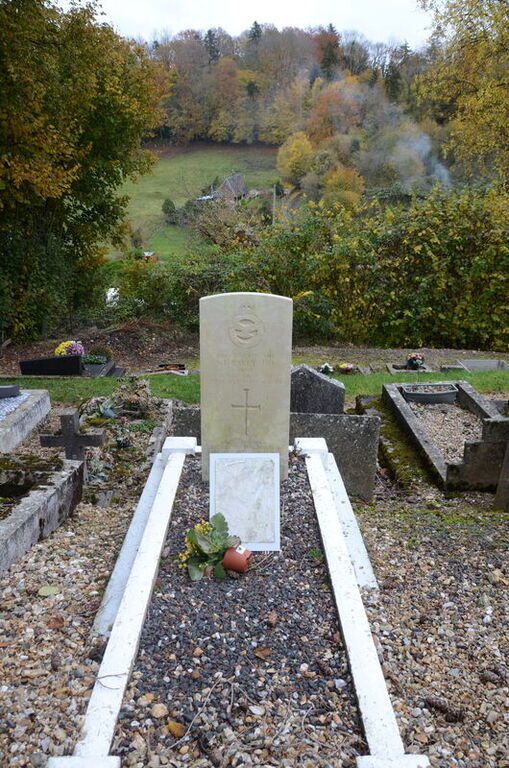
- Total identified casualties 1 Find these casualties
- Region Eure
- Identified casualties from Second World War
- GPS Coordinates Latitude: 49.32368, Longitude: 0.47498
Location information
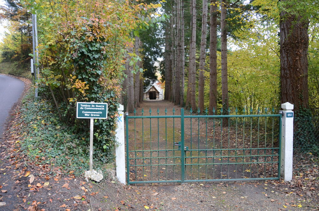
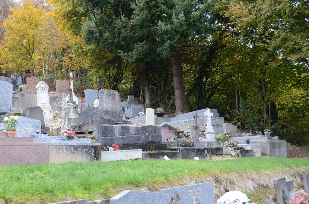
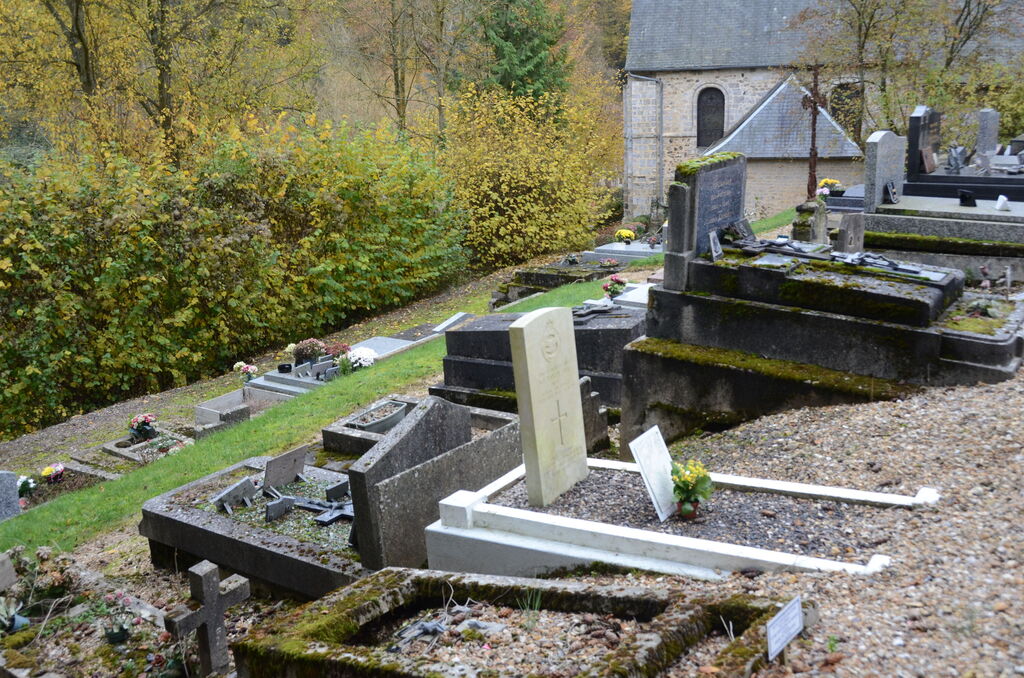
Les Preaux is a village and commune 33 miles (6 kilometres) from Pont-Audemer, a small town on the Honfleur-Evreux railway line, where taxis are available to complete the journey. The churchyard is west of the D.139 road from Pont-Audemer to Cormeilles. The one British grave is in the north-western part.