Les Hogues Communal Cemetery
- Country France
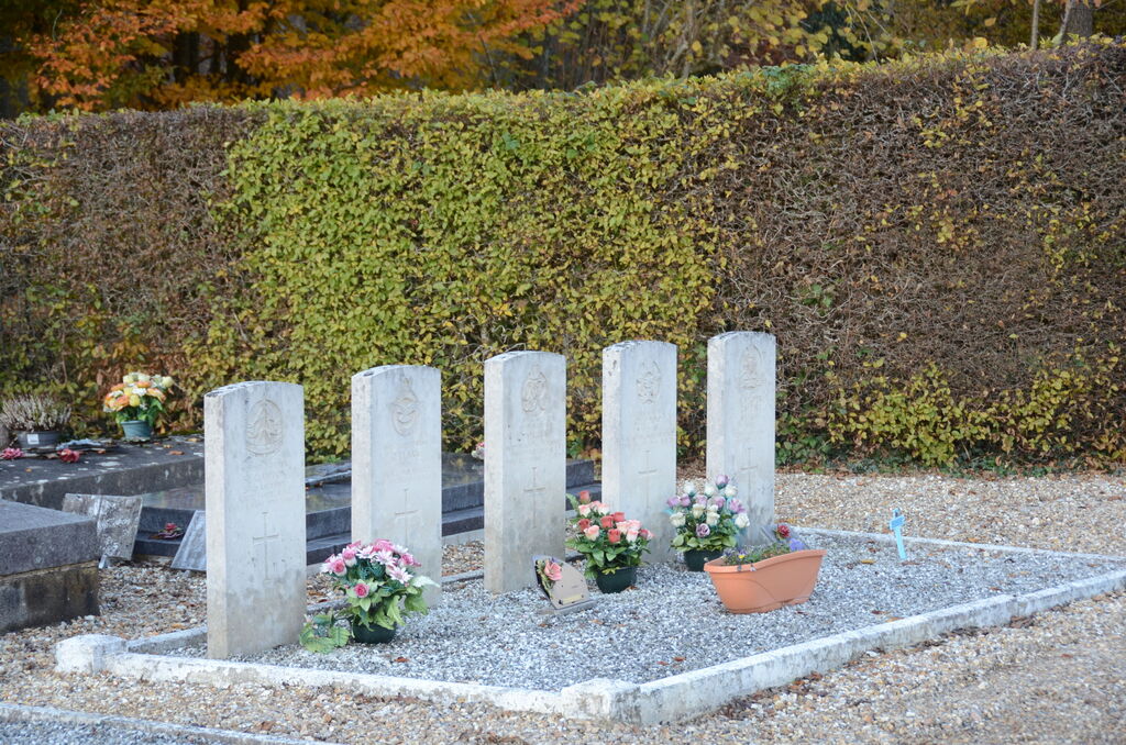
- Total identified casualties 4 Find these casualties
- Region Eure
- Identified casualties from Second World War
- GPS Coordinates Latitude: 49.42303, Longitude: 1.3996
Location information
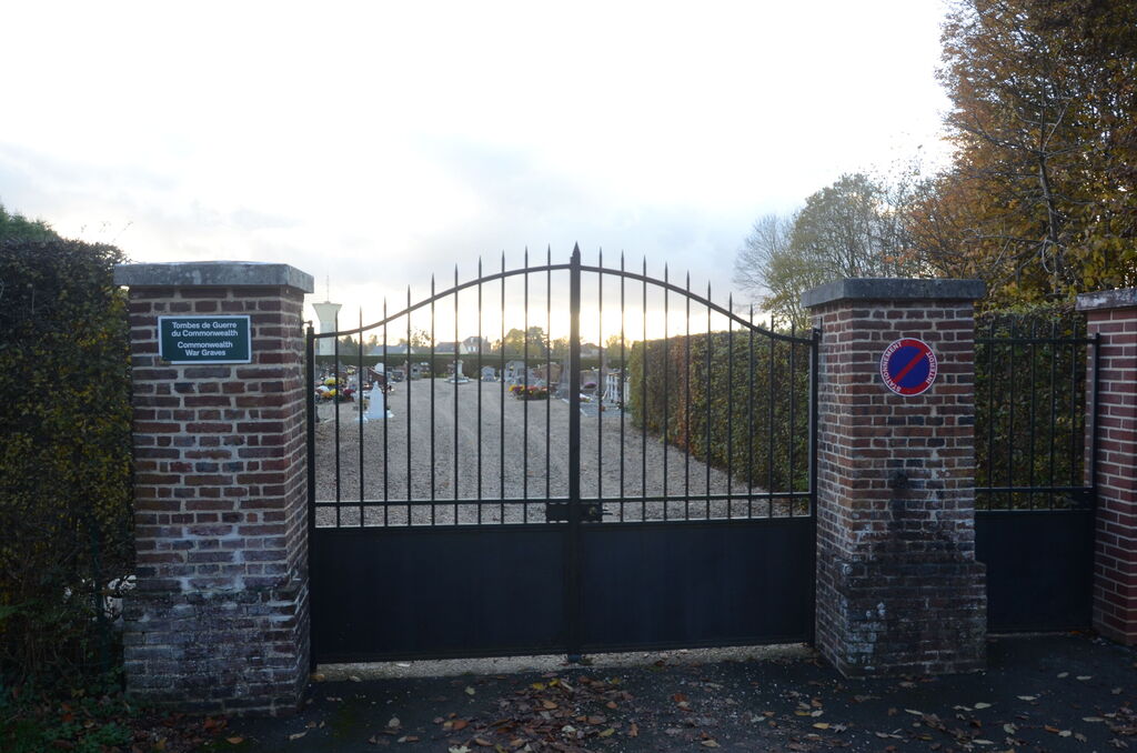
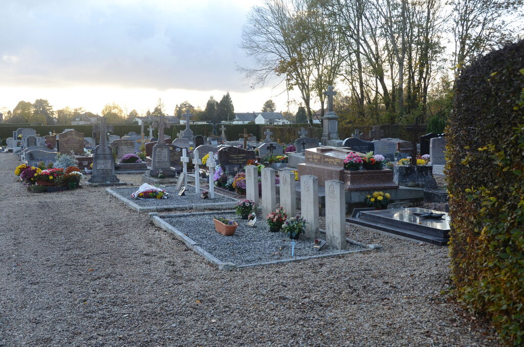
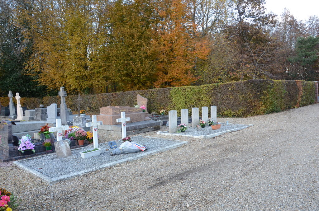
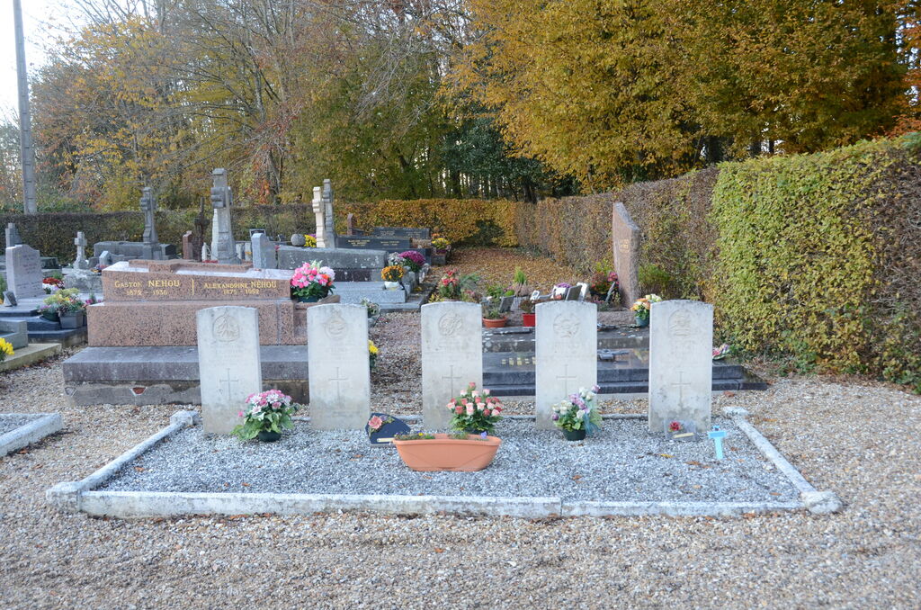
The village and commune of Les Hogues is 15 miles (20 kilometres) east of Rouen. It is rather inaccessible and the most practical manner of visiting Les Hogues is by taxi from Rouen. The cemetery is south of the village, on the D.6 road to Lyons-la-Foret. On the western side of the path, some 21 yards from the entrance, are the graves of three soldiers and one airman belonging to the forces of the United Kingdom and one airman of the Royal Canadian Air Force. One of the soldiers is not identified.