Les Baux-De-Breteuil Churchyard
- Country France
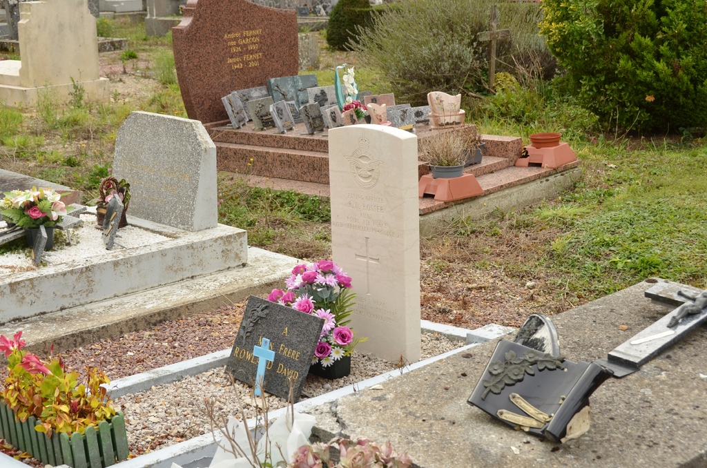
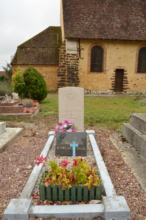
- Total identified casualties 1 Find these casualties
- Region Eure
- Identified casualties from Second World War
- GPS Coordinates Latitude: 48.8796, Longitude: 0.81108
Location information
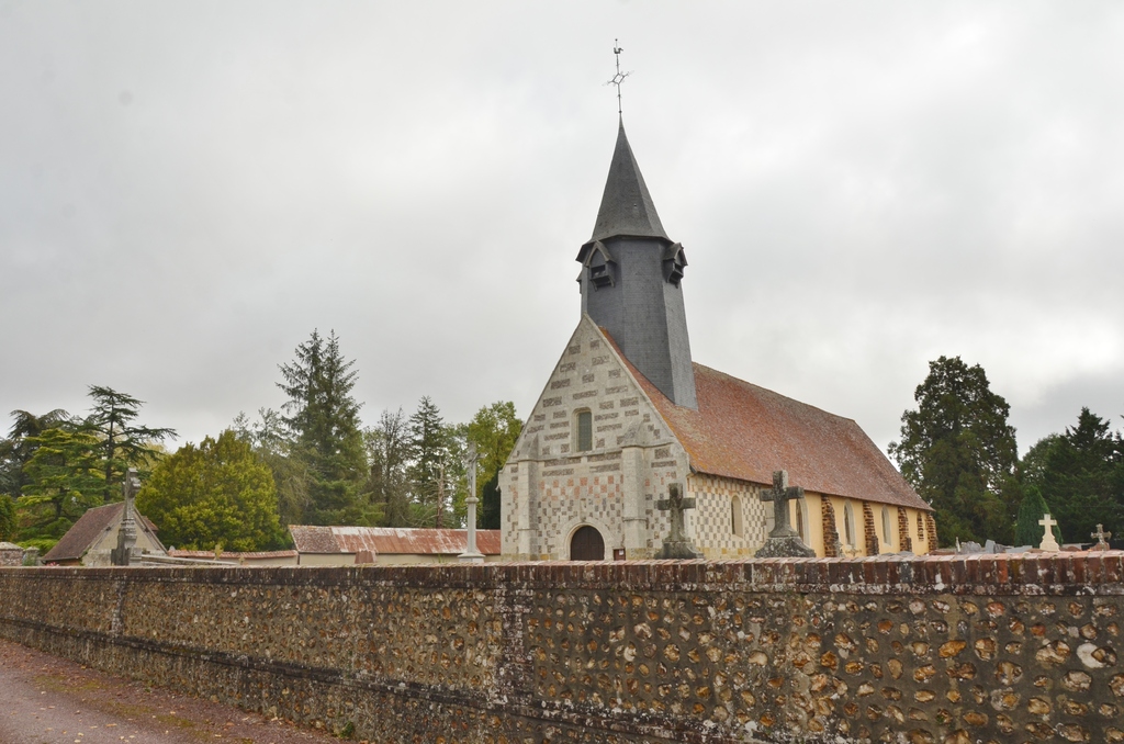
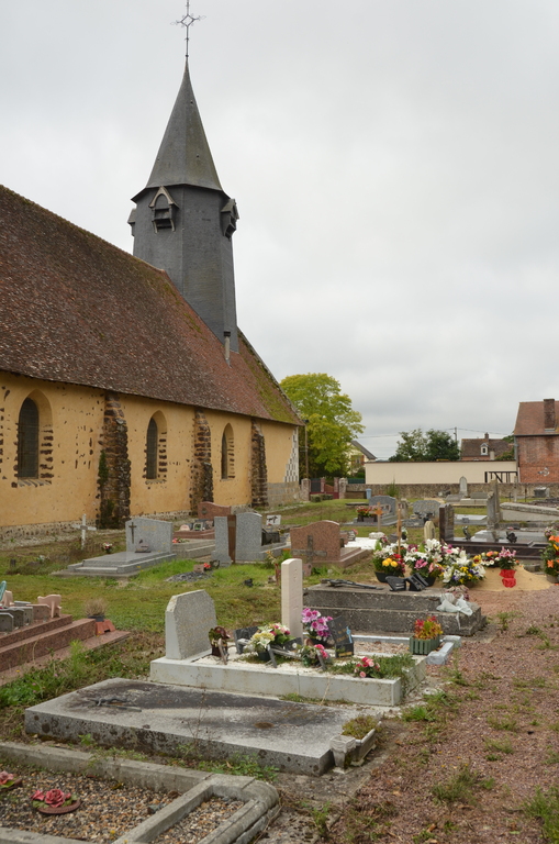
Les Baux-de-Breteuil is a village and commune about 5.5 miles (9 kilometres) north-west of Breteuil-sur-Iton, a small town on the Conches-Verneuil road (N.840), and some 9 miles (14 kilometres) south-west of Conches, a town on the Cherbourg-Caen-Paris and the Evreux-Laigle railway lines. The most convenient way for reaching the churchyard is by taxi from Conches. The one British grave is some 12 yards north-west of the north-eastern corner of the church.