Les Authieux Churchyard
- Country France
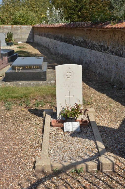
- Total identified casualties 1 Find these casualties
- Region Eure
- Identified casualties from Second World War
- GPS Coordinates Latitude: 48.8998, Longitude: 1.23808
Location information
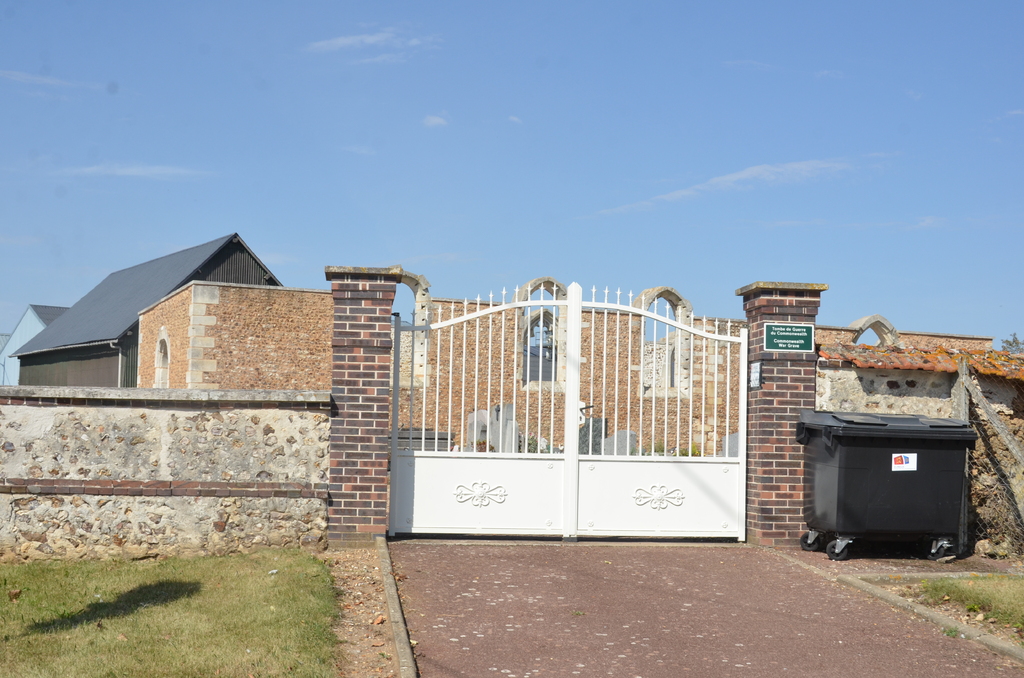
The village and commune of Les Authieux is 16 kilometres south-south-east of Evreux and about 3 kilometres west of St. Andre-de-l'Eure, on the N.883 road to Damville. The one Commonwealth war grave in the churchyard is about three yards from the entrance.