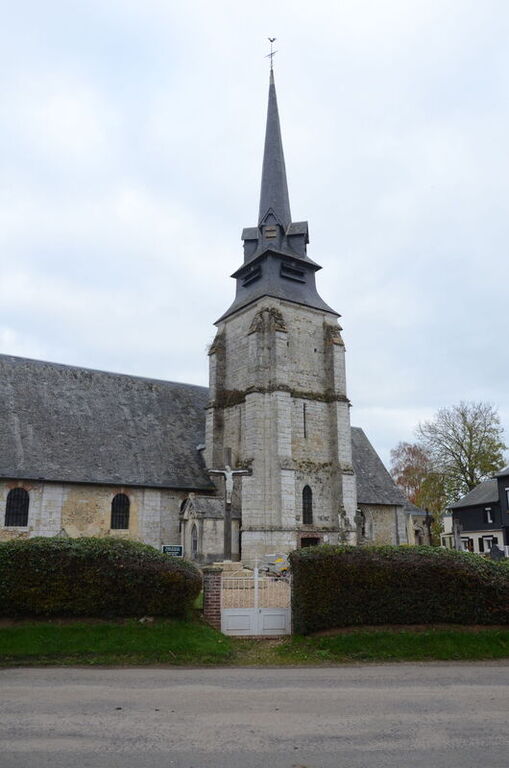
La Lande Churchyard
- Country France
- Total identified casualties 1 Find these casualties
- Region Eure
- Identified casualties from Second World War
- GPS Coordinates Latitude: 49.2996, Longitude: 0.36322
Location information
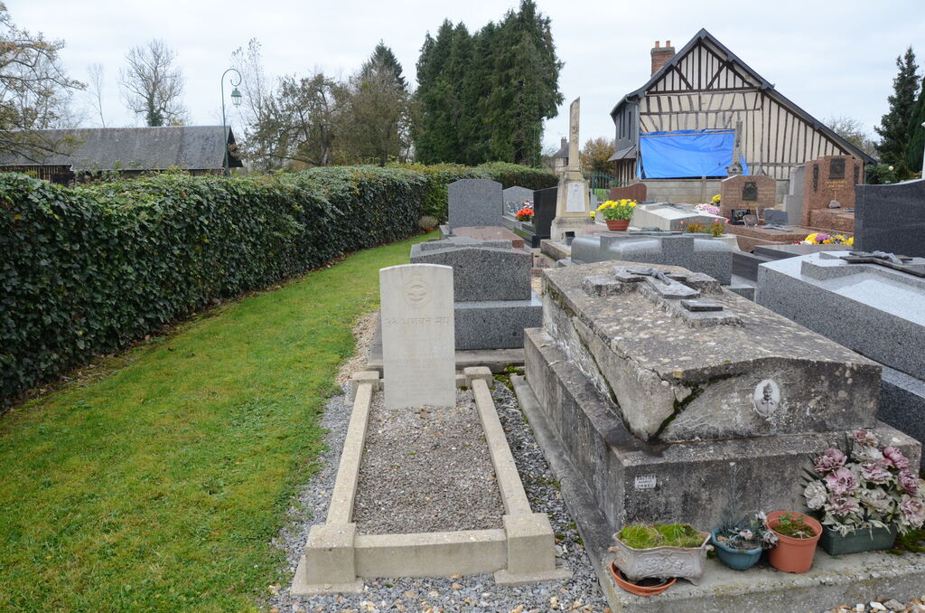
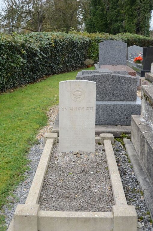
La Lande is a village and commune about 65 kilometres north-west of Evreux and 12 kilometres south-west of Pont-Audemer. The one Commonwealth war grave in the churchyard is near the south wall and the small entrance gate.