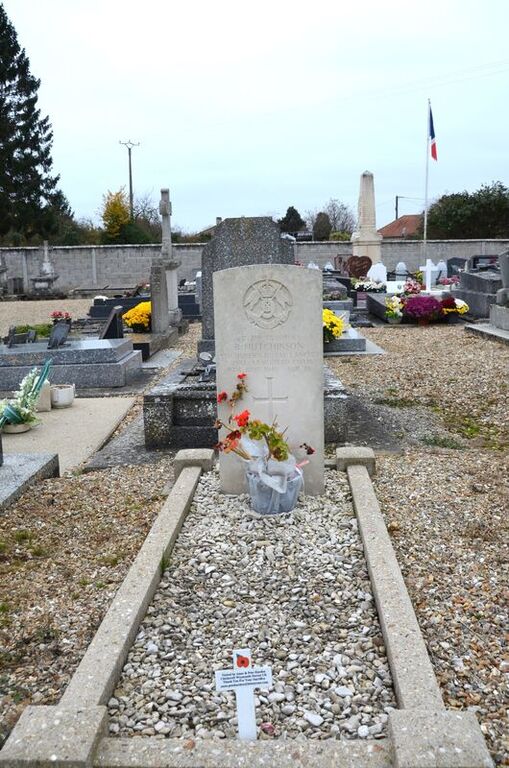
La Haye-Malherbe Communal Cemetery
- Country France
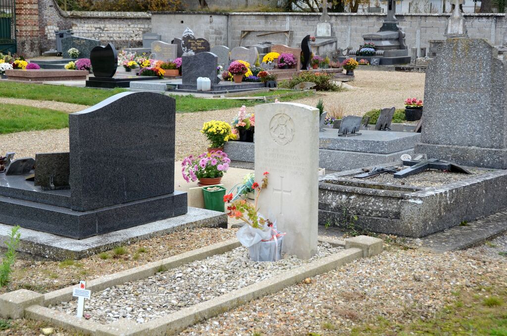
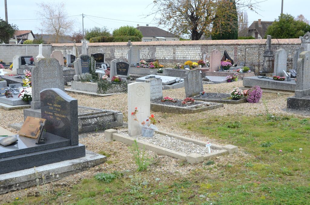
- Total identified casualties 1 Find these casualties
- Region Eure
- Identified casualties from Second World War
- GPS Coordinates Latitude: 49.22807, Longitude: 1.06943
Location information
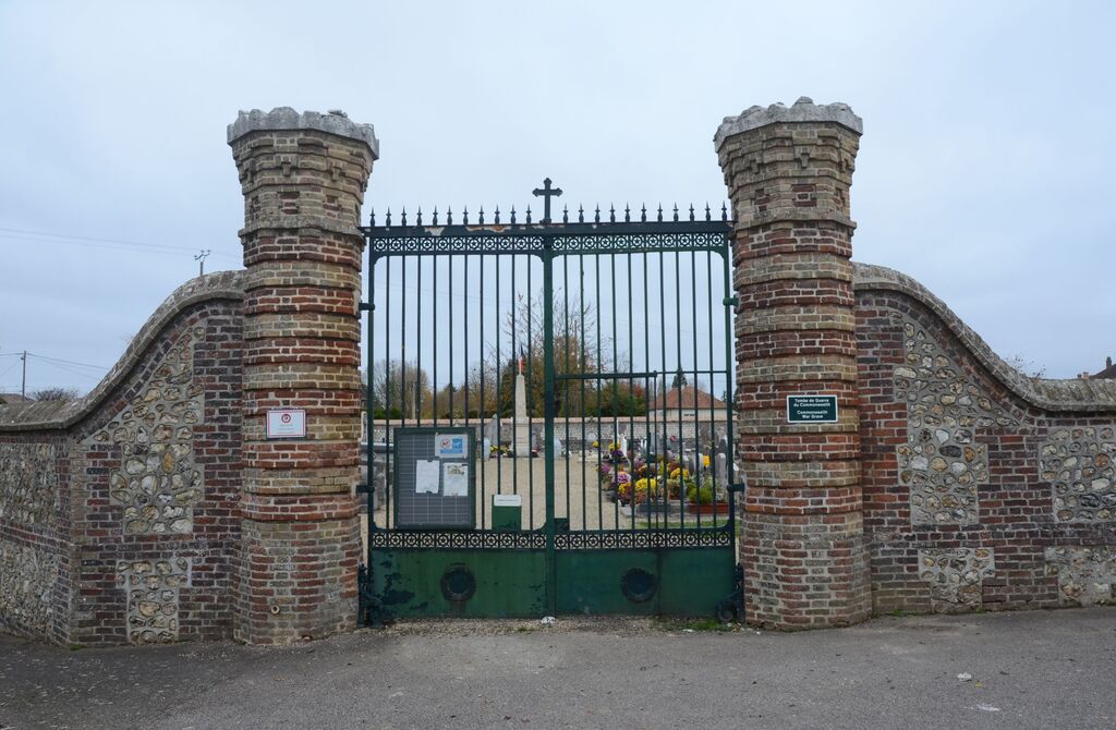
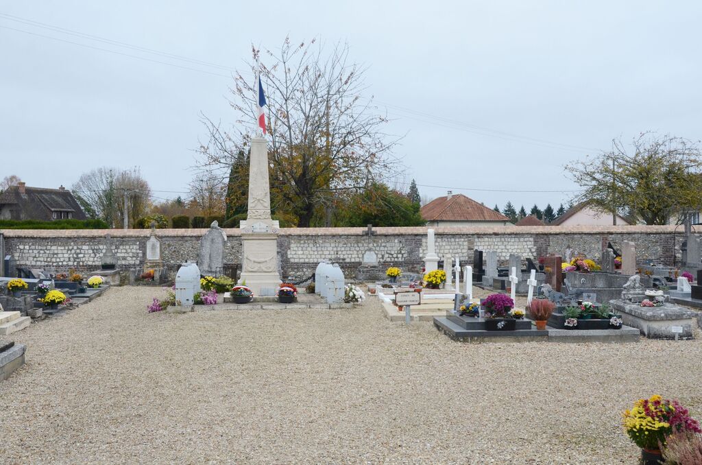
La Haye-Malherbe is a village in the Department of Eure south of Rouen, some 10 kilometres west of Louviers on the D81. The Communal Cemetery is situated on the road leading to Elbeuf (D171), and the war grave will be found in the front left quarter of the cemetery.