Fourmetot Churchyard
- Country France
- Total identified casualties 1 Find these casualties
- Region Eure
- Identified casualties from Second World War
- GPS Coordinates Latitude: 49.38135, Longitude: 0.57164
Location information
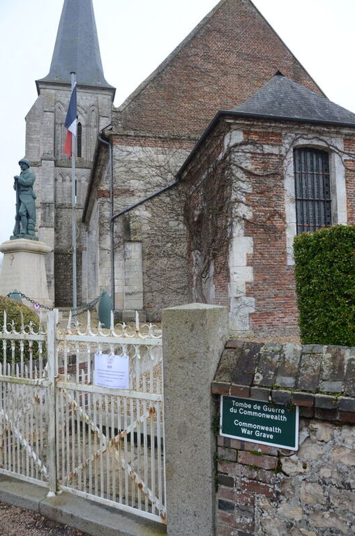
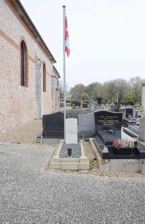
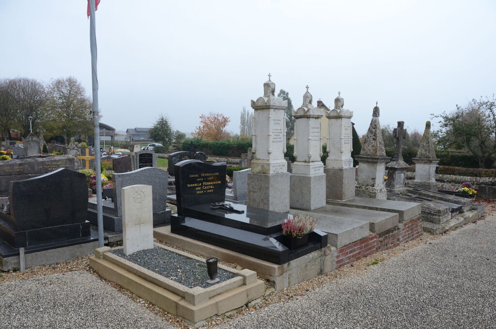
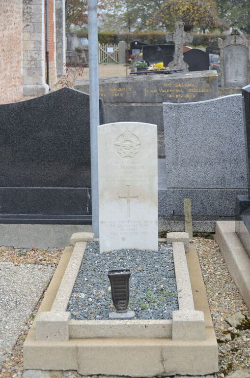
Fourmetot is a village and commune 58 kilometres north-west of Evreux and some 5 kilometres north-east of Pont-Audemer. The village is on the D.139 road from the town to Bourneville. An airman of the Royal Canadian Air Force is buried in this churchyard, near the south-western corner of the church.