Ferrieres-Haut-Clocher Communal Cemetery
- Country France
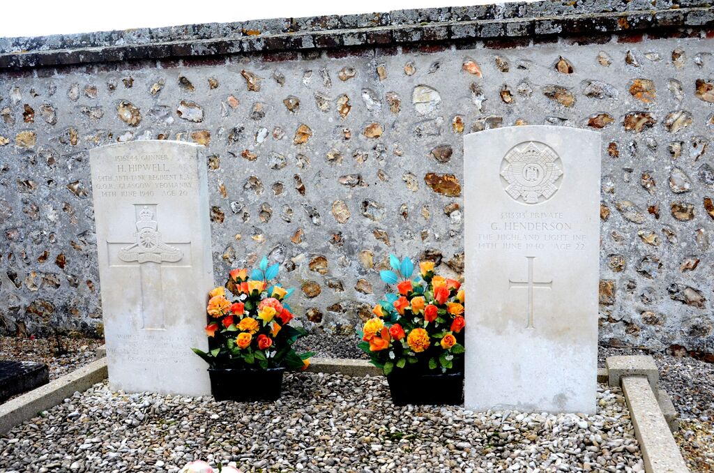
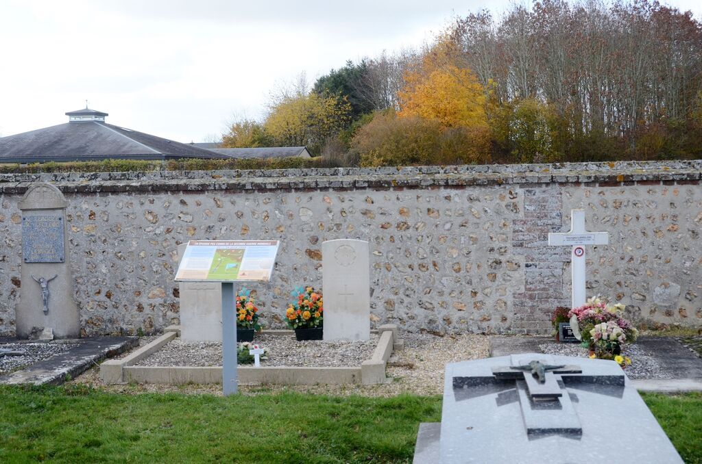
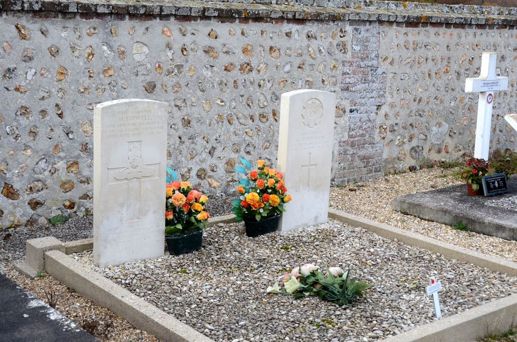
- Total identified casualties 2 Find these casualties
- Region Eure
- Identified casualties from Second World War
- GPS Coordinates Latitude: 49.02351, Longitude: 0.98324
Location information
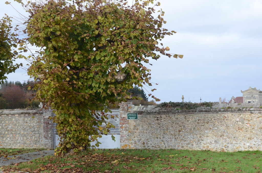
Ferrieres-Haut-Clocher is a village and commune some 13 kilometres west of Evreux. The communal cemetery is on the north-eastern side of the village and some 400 yards east of the Mairie, on a by-road leading to the hamlet of Le Bas-de-Ferrieres. The two Commonwealth war graves are in the south-western corner.