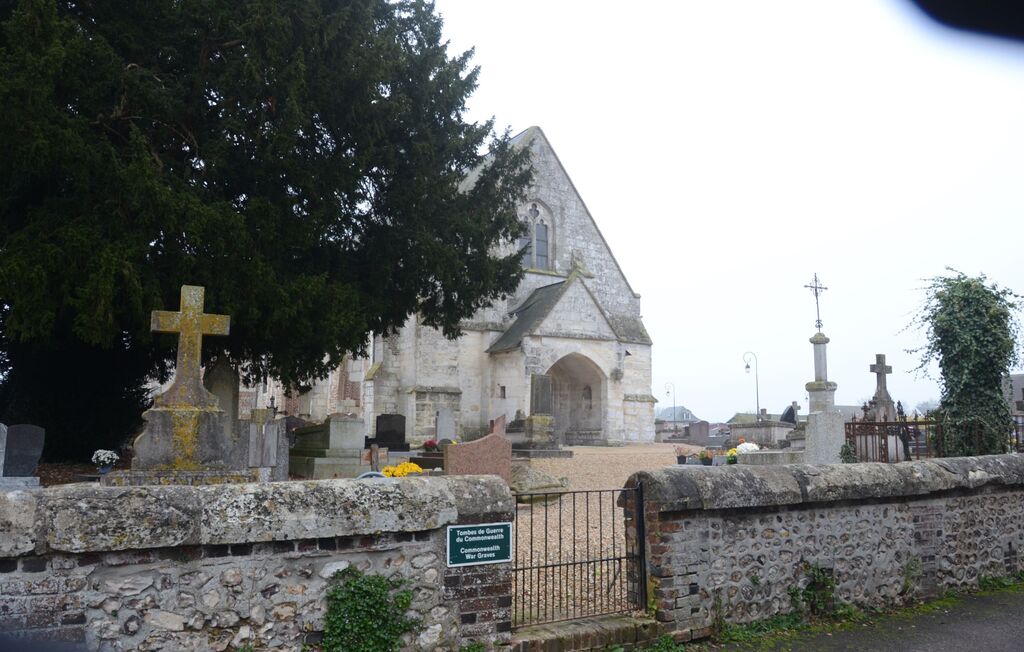
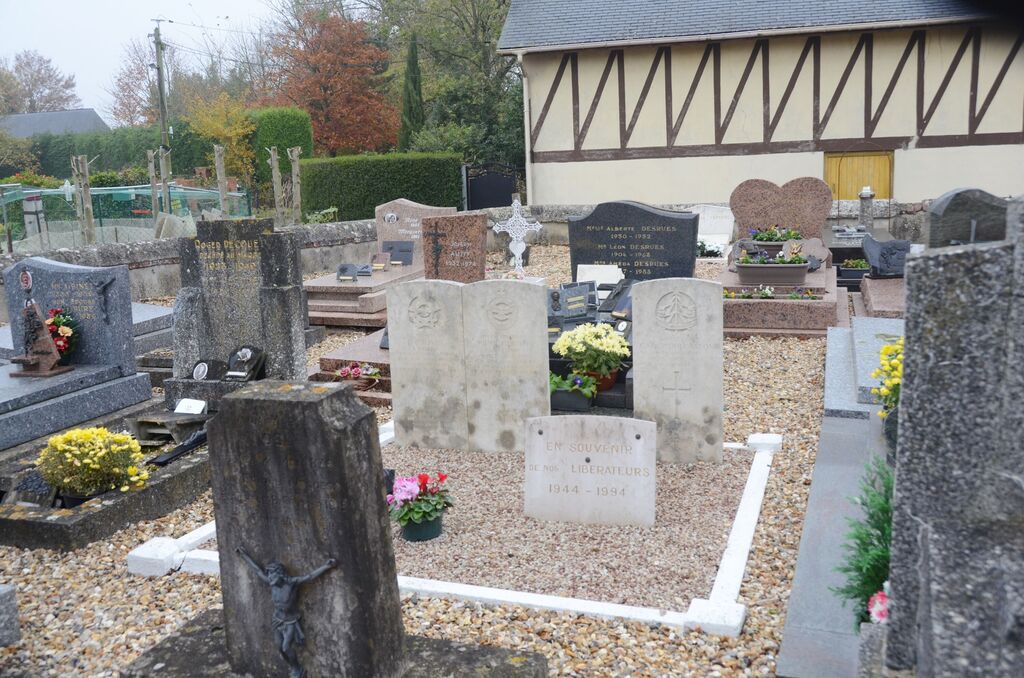
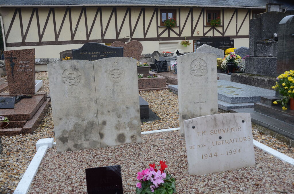
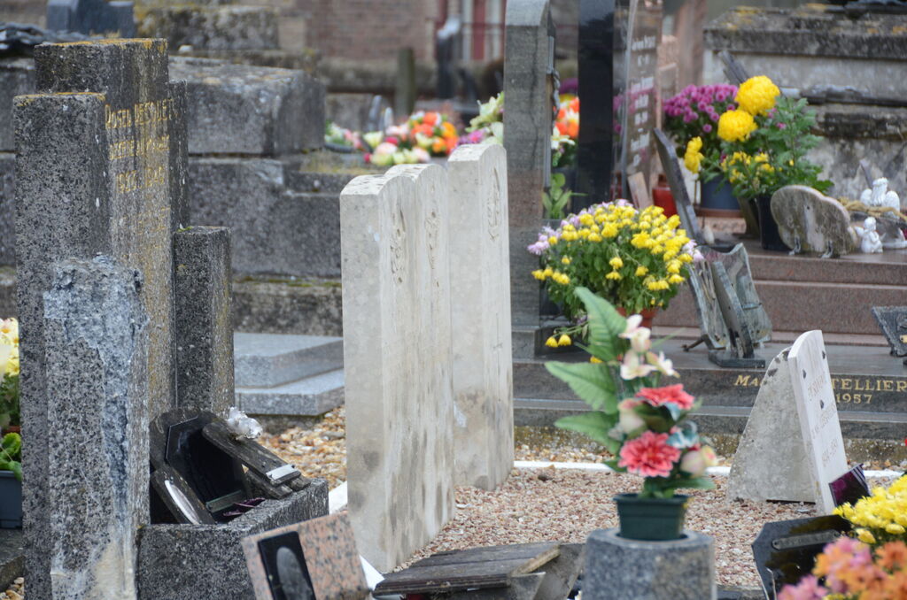
Etreville Churchyard
- Country France
- Total identified casualties 5 Find these casualties
- Region Eure
- Identified casualties from Second World War
- GPS Coordinates Latitude: 49.37126, Longitude: 0.64947
Location information
Etreville is a village and commune about 53 kilometres north-west of Evreux. The cemetery is about 2 kilometres north of the main road from Pont-Audemer to Rouen (N.180). Some 12 yards south-west of the church are the graves of one soldier and two airmen belonging to the forces of the United Kingdom and two airmen of the Royal Canadian Air Force.