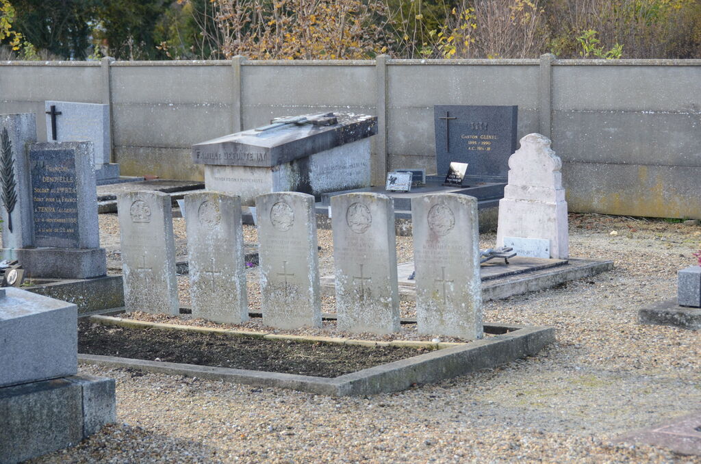
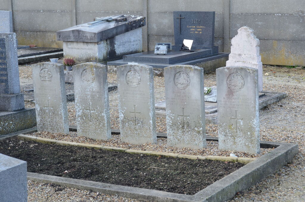
Etrepagny Communal Cemetery
- Country France
- Total identified casualties 5 Find these casualties
- Region Eure
- Identified casualties from Second World War
- GPS Coordinates Latitude: 49.30268, Longitude: 1.62275
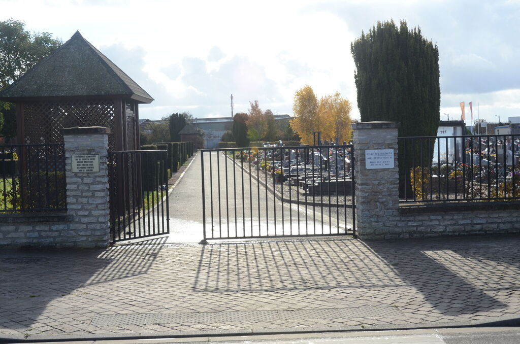
Location information
Etrepagny is a small town 12 kilometres west of Gisors, a town on the Dieppe-Pontoise-Paris railway line. The Communal Cemetery is east of Etrepagny on the southern side of the road from Gisors. The Commonwealth war graves are near the western wall of the Cemetery.