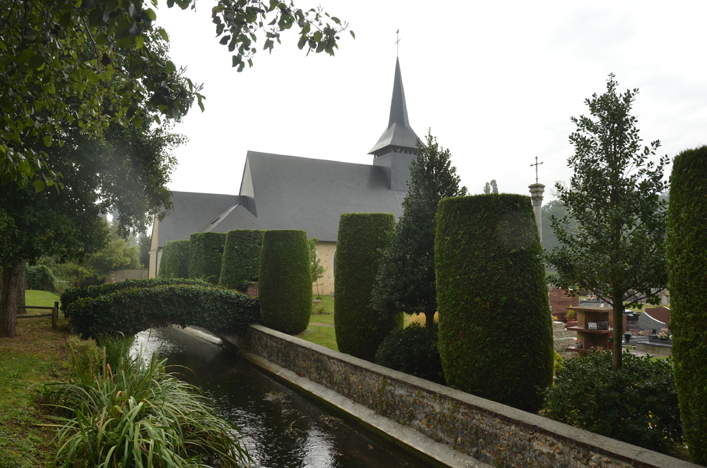
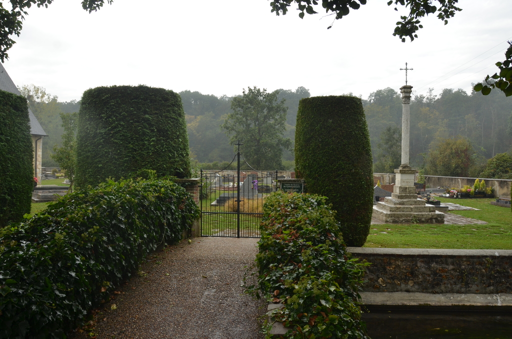
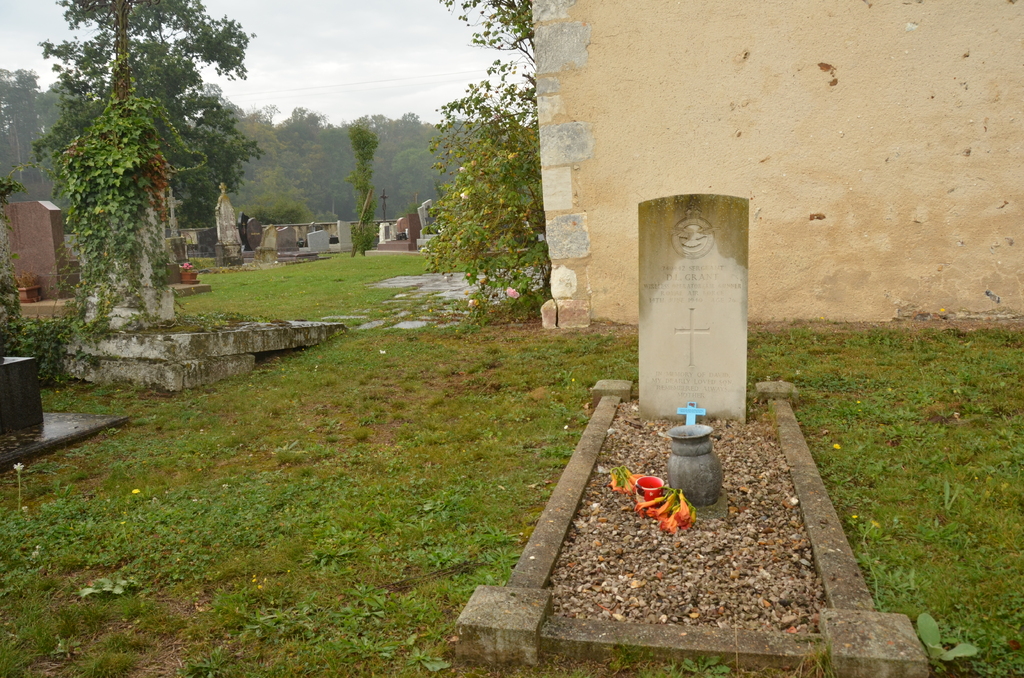
Coulonges Churchyard
- Country France
- Total identified casualties 1 Find these casualties
- Region Eure
- Identified casualties from Second World War
- GPS Coordinates Latitude: 48.88234, Longitude: 1.08405
Location information
Coulonges is a village 19 kilometres south of Evreux and 2 kilometres north of Damville, a village on the D.51 and the N.833 roads. The one British grave is near the south-western corner of the church.