Connelles Churchyard
- Country France
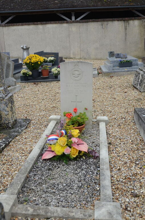
- Total identified casualties 1 Find these casualties
- Region Eure
- Identified casualties from Second World War
- GPS Coordinates Latitude: 49.25584, Longitude: 1.27045
Location information
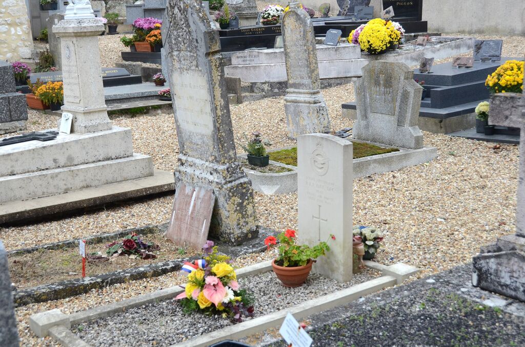
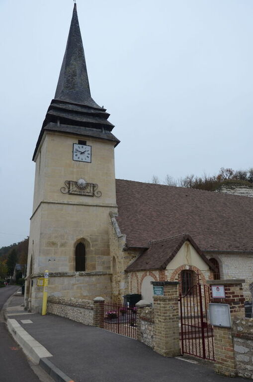
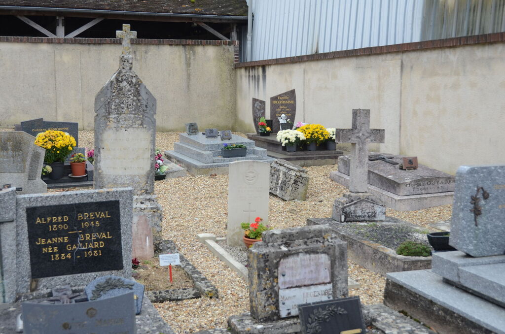
Connelles is a small village approximately 22 kilometres south-east of Rouen. It overlooks the River Seine south of where the rivers Eure and Seine combine. The nearest small town is St Etienne-du-Vaucray across the water. The churchyard is on the main road (D19) through the village. The single 1939-1945 Commonwealth war grave is located on the right of the main path beyond the Calvary.