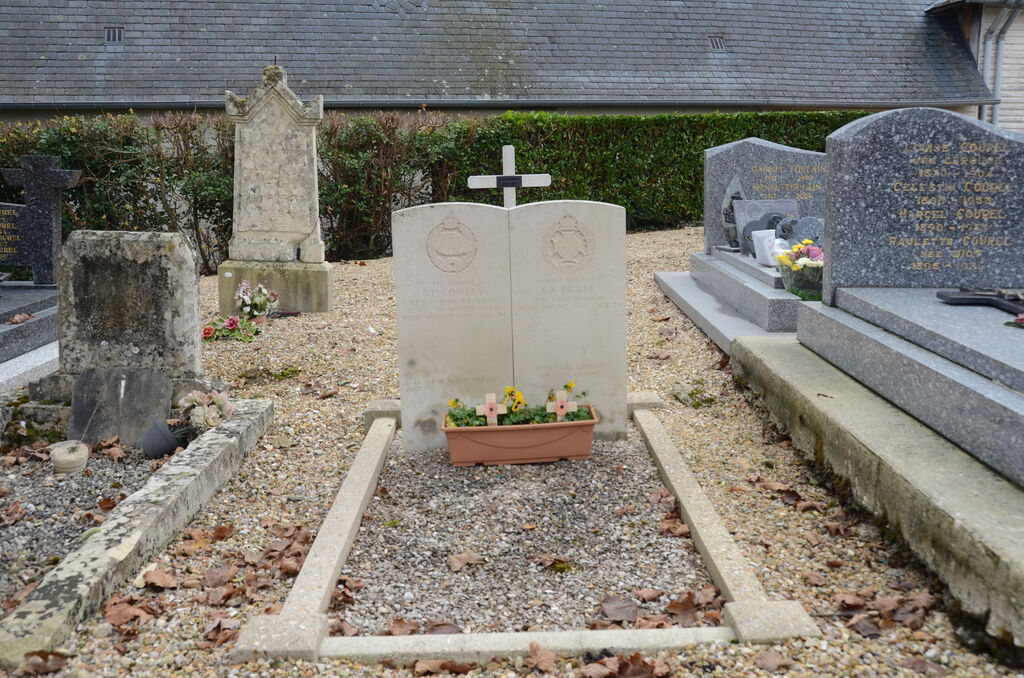
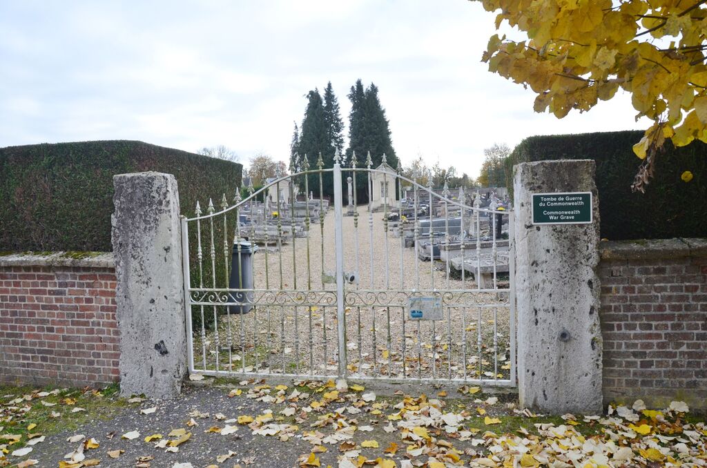
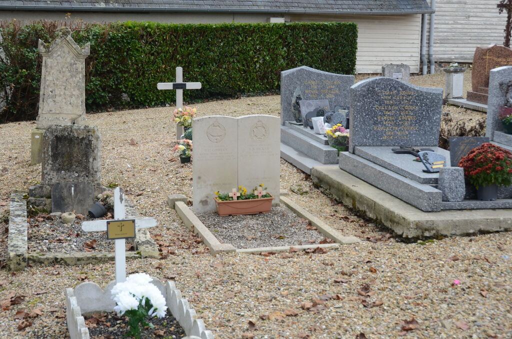
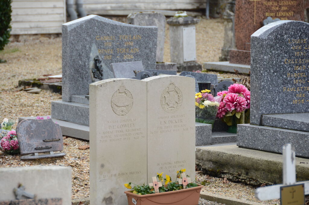
Conde-Sur-Risle Churchyard
- Country France
- Total identified casualties 2 Find these casualties
- Region Eure
- Identified casualties from Second World War
- GPS Coordinates Latitude: 49.31508, Longitude: 0.61404
Location information
Conde-sur-Risle is a village and commune about 32 miles (51 kilometres) north-west of Evreux with a railway station on the Evreux-Honfleur line. The churchyard is about 200 yards north-west of the station and contains the joint grave of two British soldiers The grave is some 15 yards south of the church.