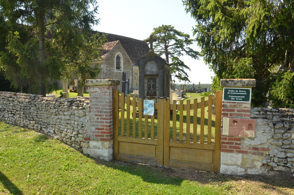
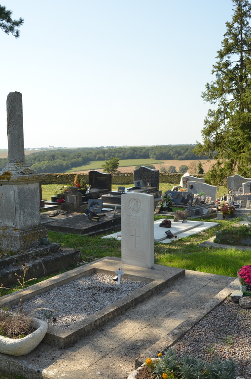
Civieres Churchyard
- Country France
- Total identified casualties 1 Find these casualties
- Region Eure
- Identified casualties from Second World War
- GPS Coordinates Latitude: 49.16779, Longitude: 1.59021
Location information
The village of Civieres is 7.5 miles (12 kilometres) north-east of Vernon, a small town some 15 miles (25 kilometres) north-east of Evreux, and is just over a mile south-east of the Vernon-Gisors road (N.181). Vernon is on the Paris-Rouen-Le Havre railway line and is the most convenient station for visitors to the cemetery. Taxis can be hired. The church and churchyard are south-east of the village, and the one British grave is some nine yards north west of the church.