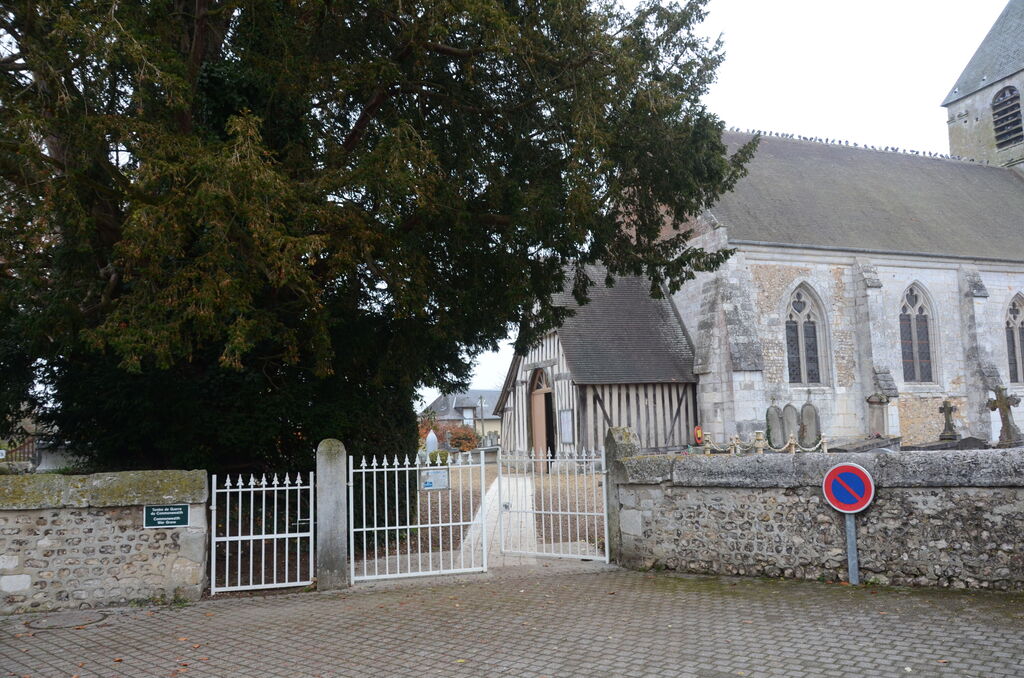
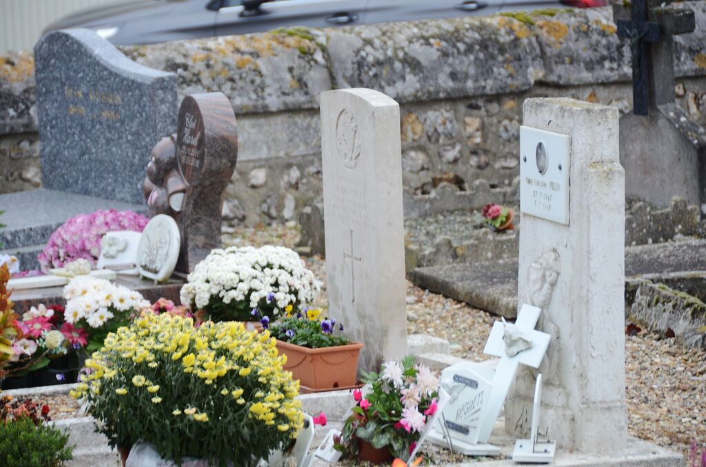
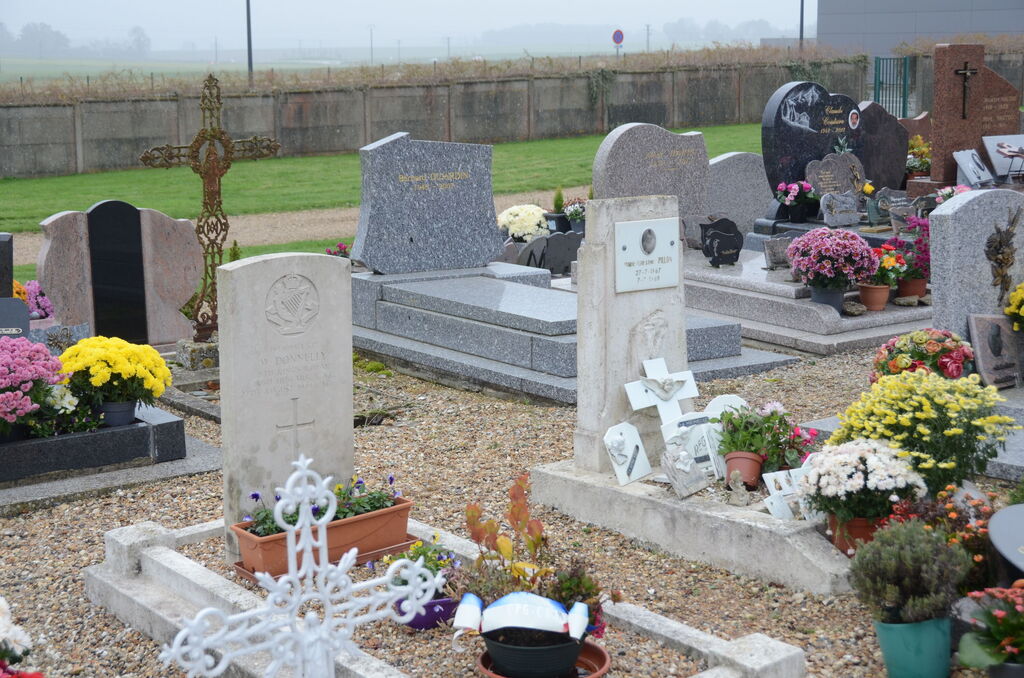
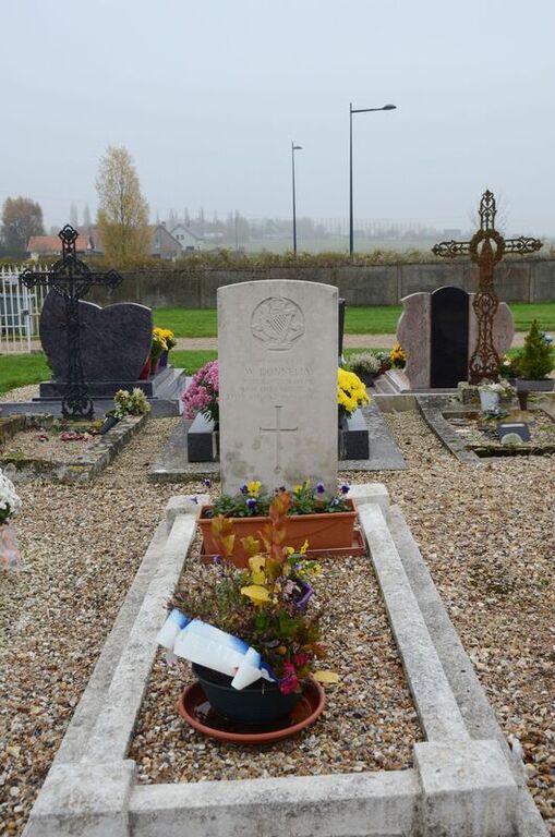
Bouquetot Churchyard
- Country France
- Total identified casualties 1 Find these casualties
- Region Eure
- Identified casualties from Second World War
- GPS Coordinates Latitude: 49.3635, Longitude: 0.78347
Location information
Bouquetot is a village 28 kilometres north-west of the town of Elbeuf. From Elbeuf take the D938 to Les Essarts, then the N138 towards motorway A13, and take the exit 25 junction A13/D313 in the direction of Bouquetot. The churchyard is easily located, and the Commonwealth war grave is in the rear of the churchyard to the left of the church.