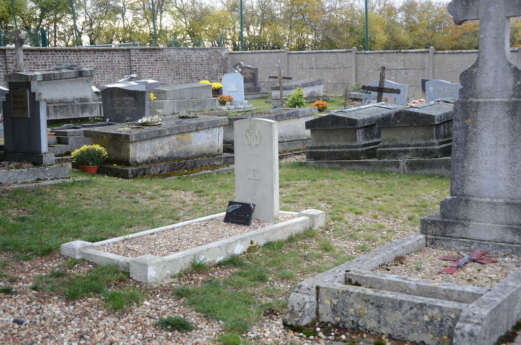
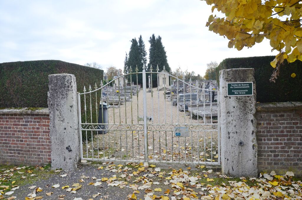
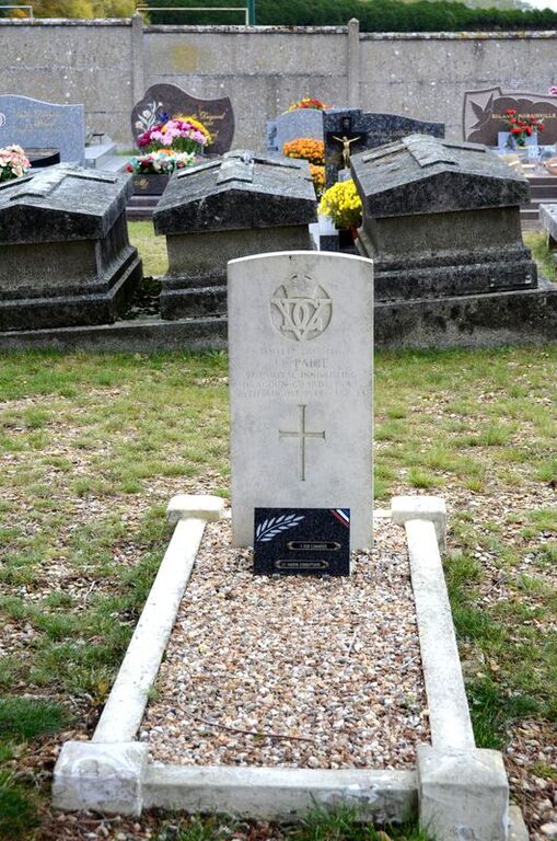
Boissey-Le-Chatel Communal Cemetery
- Country France
- Total identified casualties 1 Find these casualties
- Region Eure
- Identified casualties from Second World War
- GPS Coordinates Latitude: 49.27163, Longitude: 0.77663
Location information
Boissey-le-chatel is a village 40 kilometres north-west of Evreux and 16 kilometres west of Elbeuf. The cemetery is on the D.124 road from the village to Montfort-sur-Risle.