Autheuil Communal Cemetery
- Country France
- Total identified casualties 8 Find these casualties
- Region Eure
- Identified casualties from Second World War
- GPS Coordinates Latitude: 49.09377, Longitude: 1.26912
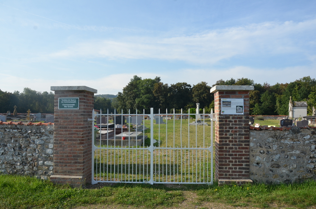
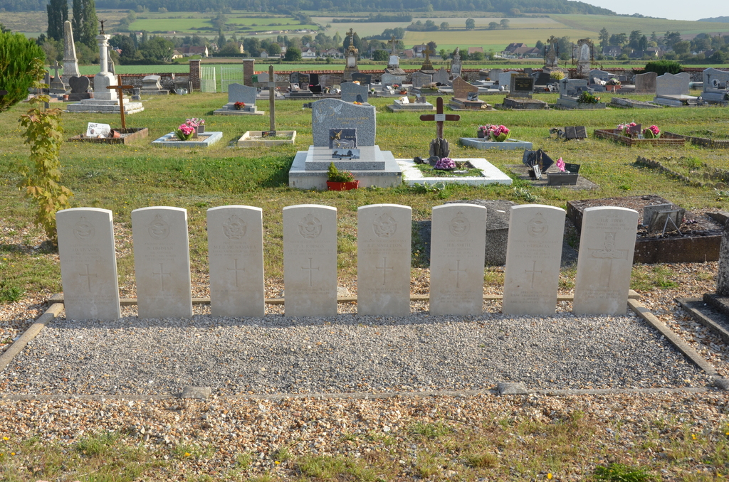
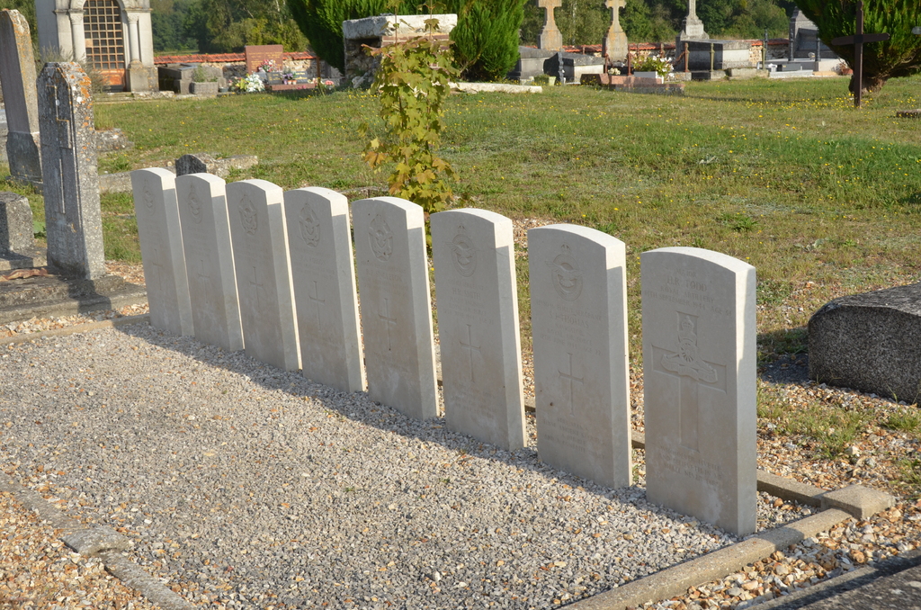
Location information
Autheuil-Authouillet is a commune approximately 14 kilometres north of Evreux, on the D.836 road between Escardenville-sur-Eure and Chambray. The closest passenger railway station is at Evreux (Paris-Evreux-Cherbourg line), from which taxi's and a bus service on the Evreux-Gaillon-Les Authieux route are available. The Communal Cemetery is in the fields south-west of the village, some 600 yards west of the railway station which is used for goods traffic only. The 8 1939-1945 Commonwealth war graves are in the south-eastern part of the cemetery, some 18 yards north-west of the shed.