Aigleville Churchyard
- Country France
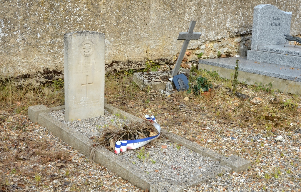
- Total identified casualties 1 Find these casualties
- Region Eure
- Identified casualties from Second World War
- GPS Coordinates Latitude: 49.00627, Longitude: 1.41893
Location information
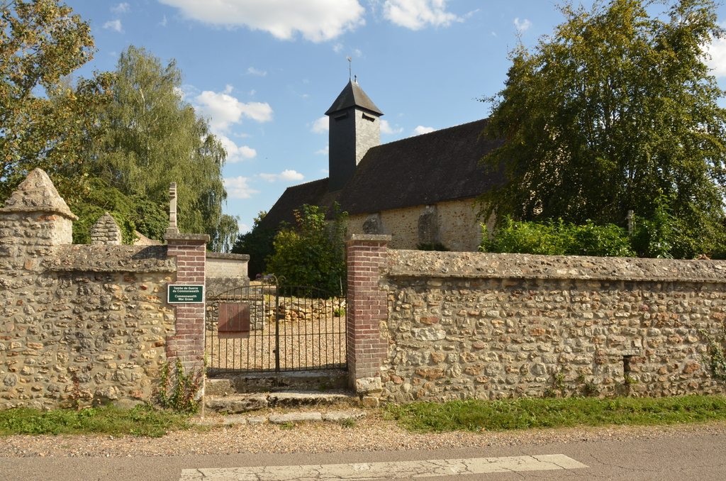
Aigleville is a village and commune in the Department of the Eure. It lies 12.5 miles (20 kilometres) east of Evreux and about 2 miles (3 kilometres) east-south-east of the small town of Pacy-sur-Eure, and south of the N.13 road from Evreux to Bonnieres.
History information
The one British war grave is east of the centre of the church.