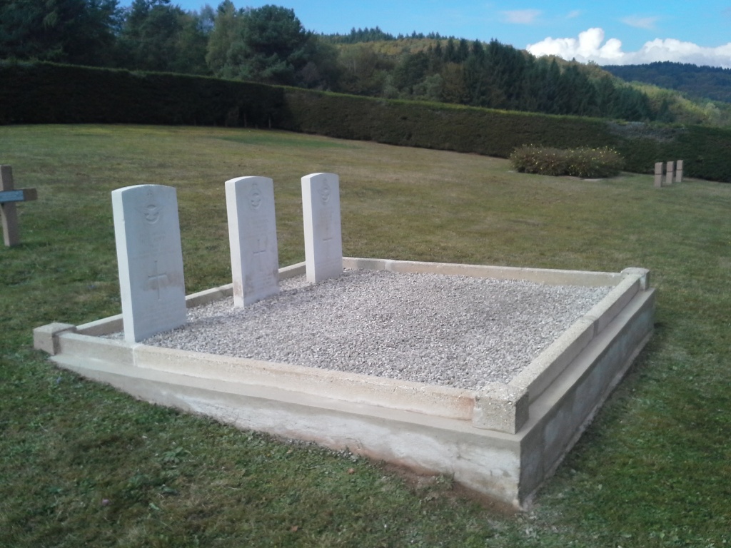
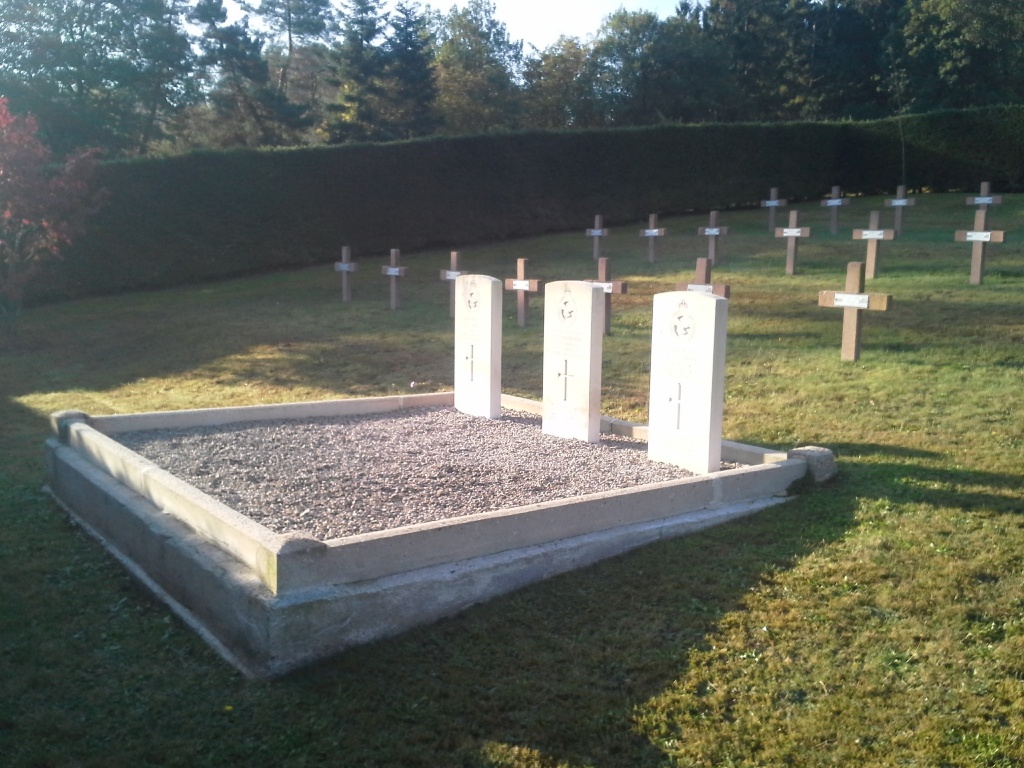
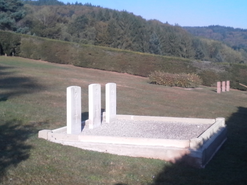
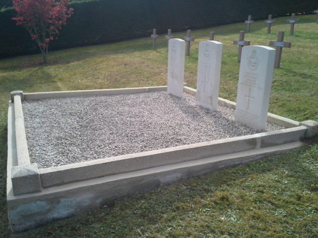
Ranrupt Mixed National Cemetery
- Country France
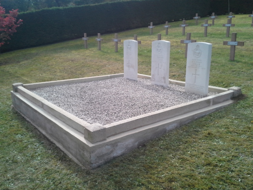
- Total identified casualties 3 Find these casualties
- Region Bas-Rhin
- Identified casualties from Second World War
- GPS Coordinates Latitude: 48.37082, Longitude: 7.198
Location information
Ranrupt is a village some 47 kilometres south-west of Strasbourg, and it lies about 5 kilometres east of the main road from Strasbourg through Schirneck to St. Die (N. 392 and N. 420). The cemetery is on the southern side of the village at the end of a track leading south-west off the road which goes to the hamlet of La Salcee. The 3 Commonwealth war graves are near the entrance, on the southern side of the main path.