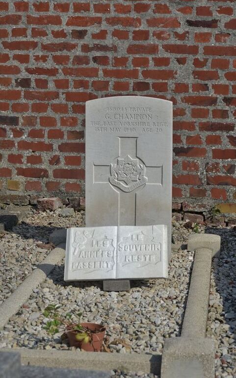
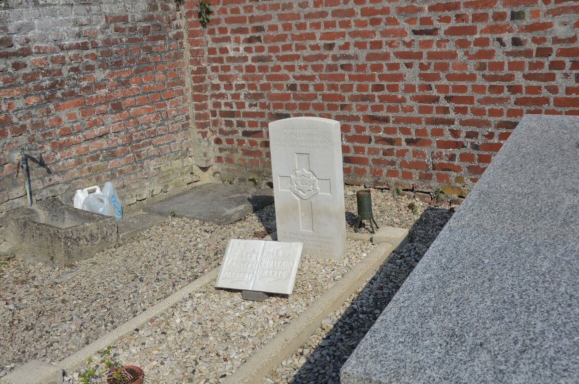
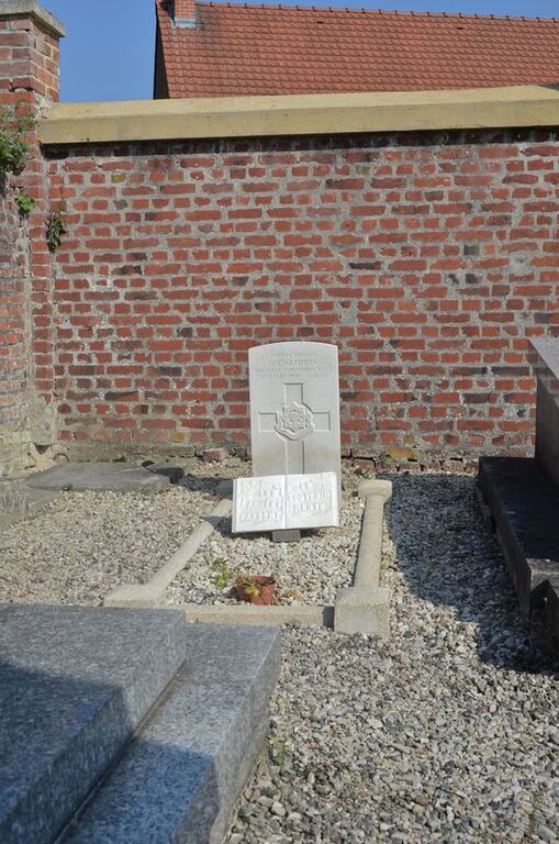
Palluel Communal Cemetery
- Country France
- Total identified casualties 1 Find these casualties
- Region Pas de Calais
- Identified casualties from Second World War
- GPS Coordinates Latitude: 50.26628, Longitude: 3.10086
Location information
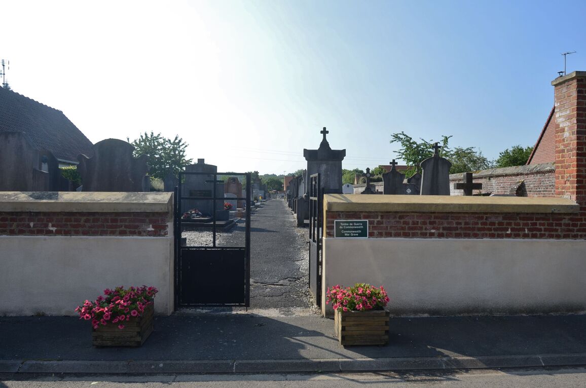
Palluel is a village and commune 15 miles (24 kilometres) east of Arras and just over 4 miles (7 kilometres) north of Marquion, a village on the N.39 road from Arras to Cambrai. The nearest railway station is some 2 miles (3 kilometres) away, at Arleux (Nord) on the Douai-Cambrai line. The most convenient way of visiting the cemetery is by bus from Arras or Cambrai to Marquion, where taxis are available. The communal cemetery is on the eastern side of the village, about 100 yards north of the church. The British grave is in the south-eastern corner of the cemetery.