Henin-Lietard Communal Cemetery
- Country France
- Total identified casualties 1 Find these casualties
- Region Pas de Calais
- Identified casualties from Second World War
- GPS Coordinates Latitude: 50.42454, Longitude: 2.95194
Location information
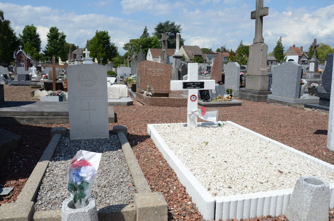
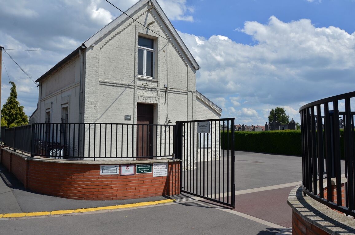
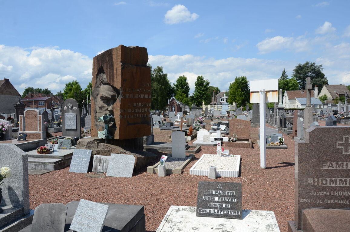
Henin-Lietardis a town on the Arras-Carvin road (N.319) some 13 miles (21 kilometres) north-east of Arras. It has a railway station on the Lens-Libercourt line which connects the Paris-Dunkirk and the Paris-Lille lines. There are bus services to and from Arras, Lille, Douai Lens and other towns in the district. The communal cemetery is in the north-eastern. part of the town, in the Rue de L'Egalite. On the eastern side of the main path, south of the Calvary, is a plot devoted to French soldiers and civilian victims of the 1939-1945 War. In this plot there is the grave of one British soldier.