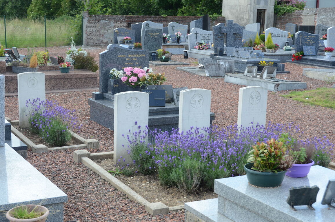
Ecurie Communal Cemetery
- Country France
- Total identified casualties 7 Find these casualties
- Region Pas de Calais
- Identified casualties from Second World War
- GPS Coordinates Latitude: 50.32956, Longitude: 2.77224
Location information
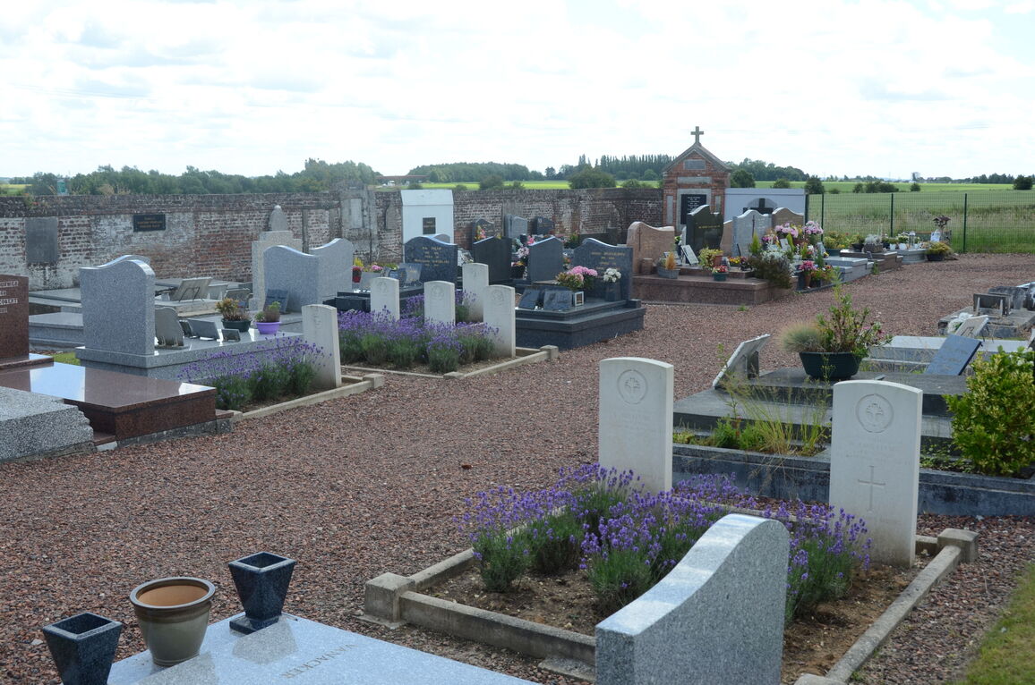
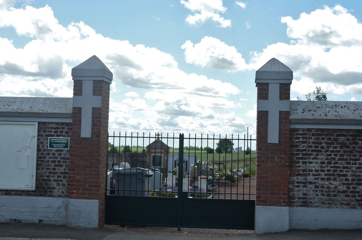
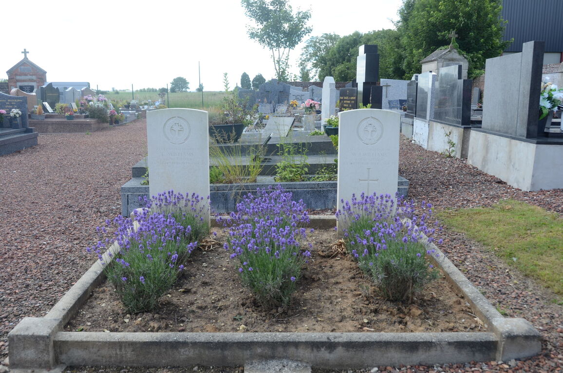
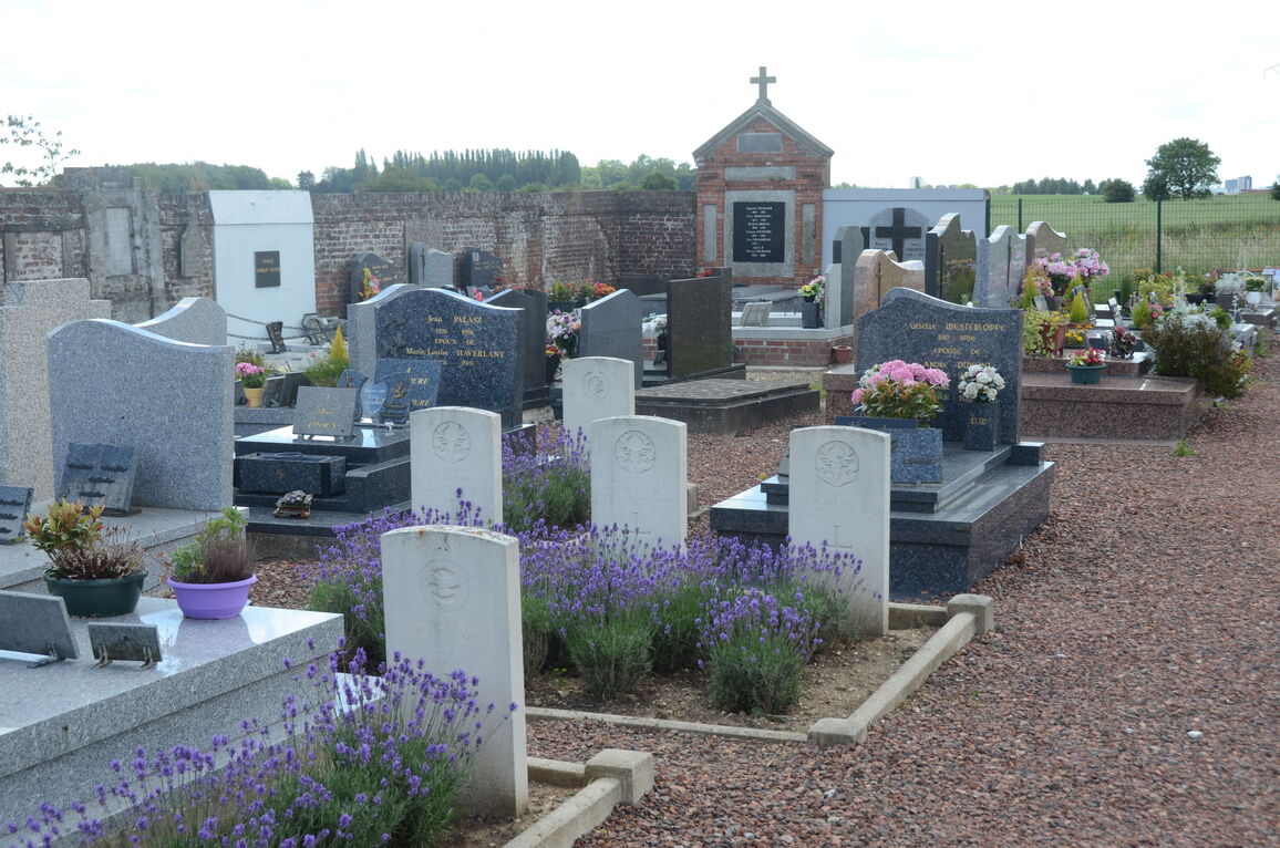
The village of Ecurie is approximately 5 kilometres north of Arras and the Communal Cemetery is on the eastern side of the village. The British graves are on each side of the main path from the entrance to the Calvary at the southern end of the cemetery.