Auxi-Le-Chateau New Communal Cemetery
- Country France
- Total identified casualties 4 Find these casualties
- Region Pas de Calais
- Identified casualties from Second World War
- GPS Coordinates Latitude: 50.23667, Longitude: 2.11781
Location information
Auxi-le-Chateau is a small town and commune 30 miles (48 kilometres) west-south-west of Arras and 15 miles (24 kilometres) south-west of St. Pol. The communal cemetery is north of the town and on the western side of the road (D.120) to the neighbouring village of Haravesnes.
History information
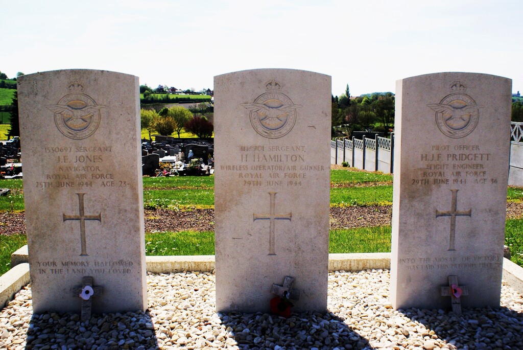
The graves of the British airmen are in the north-western part of the cemetery, three in one small plot, the other in the next row to the south.