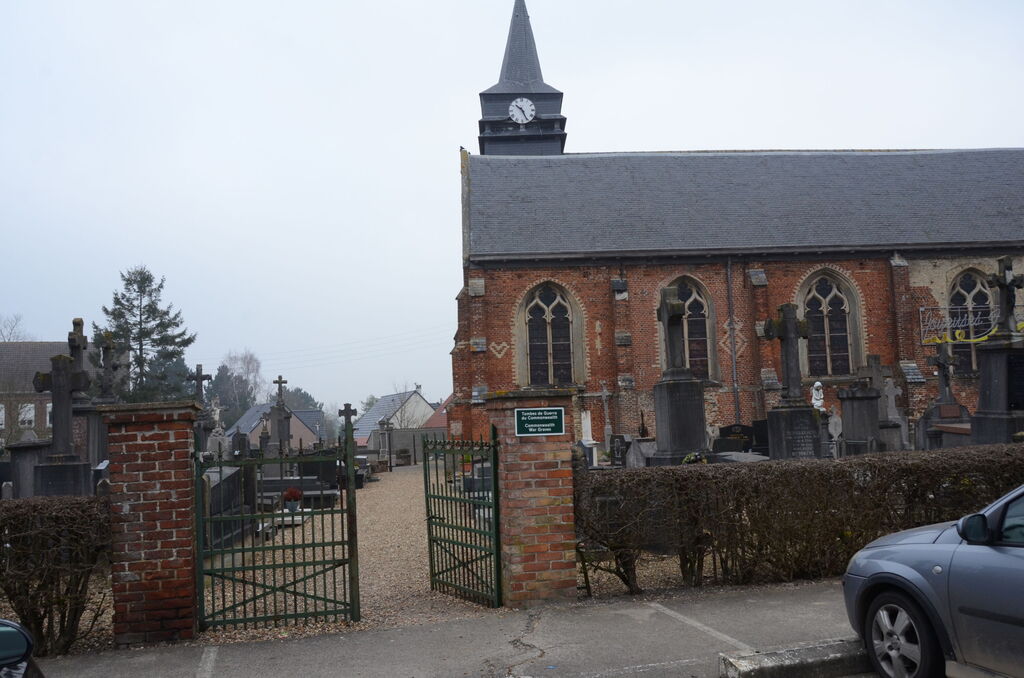
Bavinchove Churchyard
- Country France
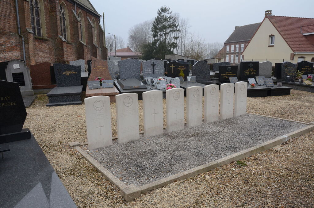
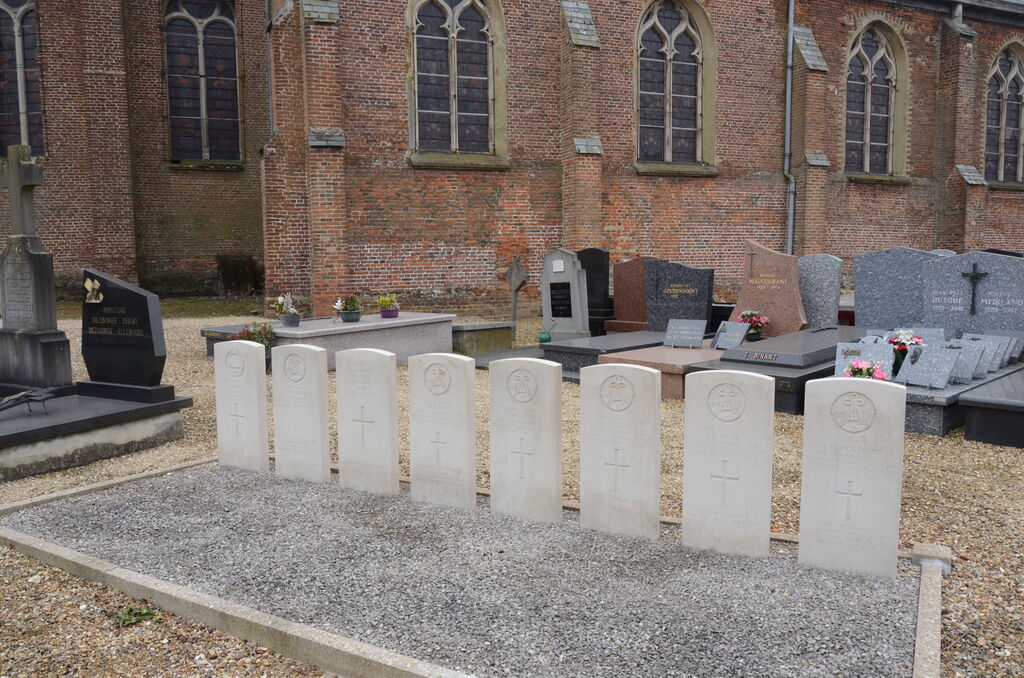
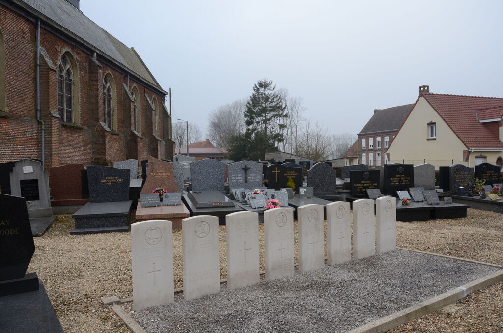
- Total identified casualties 7 Find these casualties
- Region Nord
- Identified casualties from Second World War
- GPS Coordinates Latitude: 50.78666, Longitude: 2.4535
Location information
Bavinchove is a village and commune 28 kilometres south-south-west of Dunkirk and 4 kilometres south-west of Cassel, a town on the N.16 road from Dunkirk to St. Pol. The village is on the N.42 road from Cassel to St. Omer. The nearest railway station is on the Dunkirk-Hazebrouck-Arras line and is called Cassel. It is, however, some distance from that town and lies on the south-eastern side of the village of Bavinchove, only half a mile from the churchyard. The church and churchyard are on the western side of the village. About ten yards north-east of the north-eastern corner of the church are the graves of eight soldiers from the United Kingdom, one of whom is not identified.