Struer Churchyard
- Country Denmark
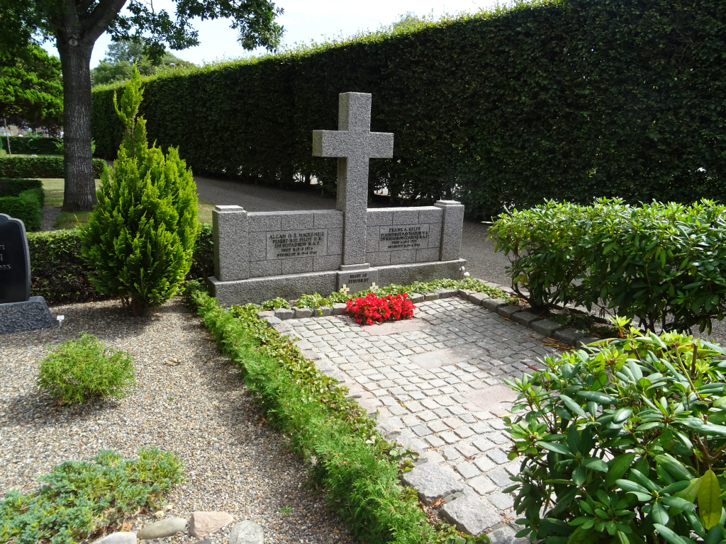
- Total identified casualties 2 Find these casualties
- Identified casualties from Second World War
- GPS Coordinates Latitude: 56.48939, Longitude: 8.59348
Location information
Struer is a town in north-western Jutland about 16 kilometres north of Holstebro on road number 11, Holstebrovej. Turn right at the traffic lights signposted "Centrum" on Ringgade and park at Ringggade 54, look for a blue P parking sign, which is opposite the entrance to the churchyard.
History information
Struer Churchyard contains the joint grave of two Commonwealth airmen.