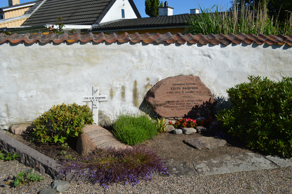
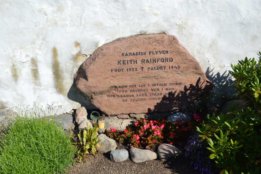
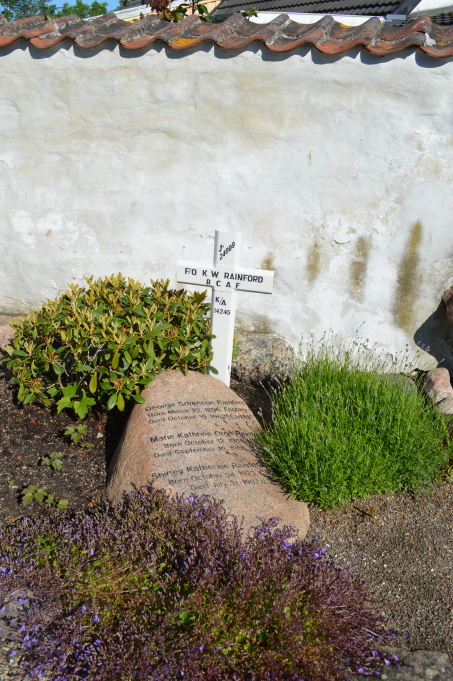
Karlslunde Churchyard
- Country Denmark
- Total identified casualties 1 Find these casualties
- Identified casualties from Second World War
- GPS Coordinates Latitude: 55.57121, Longitude: 12.22298
Location information
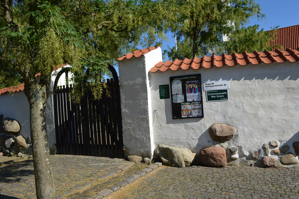
The village of Karlslunde is about 24 kilometres south-west of Copenhagen. Take the E47 motorway to junction 29 signed Greve S and turn right at the traffic lights on the 217 to Karlslunde. At the next set of traffic lights turn left signposted for Køge to the village signed "Karlslunde". The church is signposted, turn right to Hovedgaden from Karlslunde Landevej and park by the church on the right. The Commonwealth War Grave is found against the western wall of the churchyard.
History information
Karlslunde Churchyard contains the grave of one Commonwealth airman.