Hviding Churchyard
- Country Denmark
- Total identified casualties 0 Find these casualties
- Identified casualties from Second World War
- GPS Coordinates Latitude: 55.26202, Longitude: 8.68528
Location information
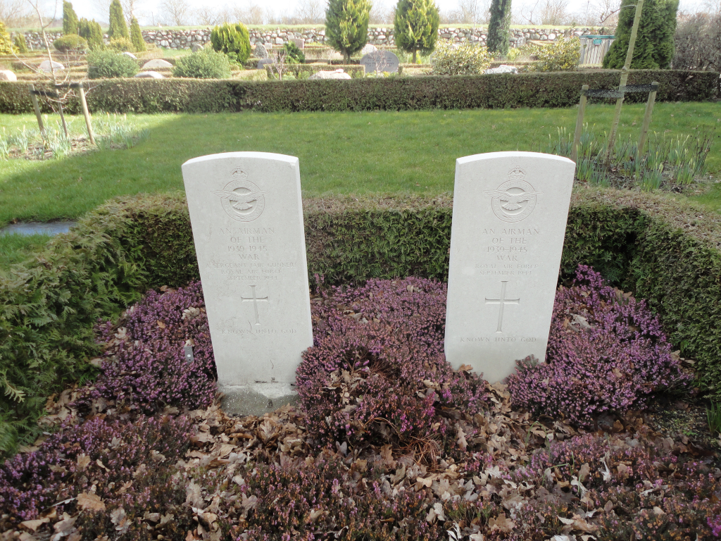
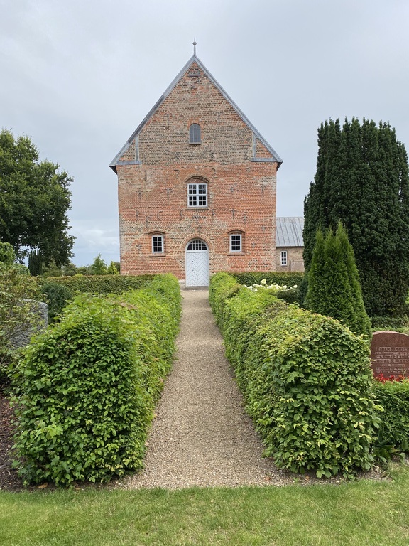
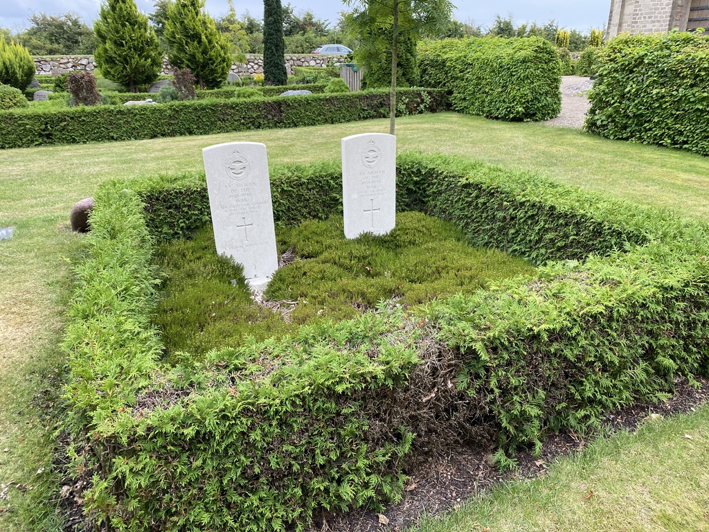
Hviding is a village in southern Jutland about 12 kilometres south west of the town of Ribe. Approaching from the south on the A11 turn left about 6 kilometres beyond Brons onto the local road signposted to Hogsbro. Continue through the village and turn right into Hviding Kirkevej. The church can be seen about half a kilometre along on the left side. Follow the path from the main gate of the churchyard around to the rear of the church. The two war graves, marked by portland headstones, are directly behind the church about 10 metres off the path.
History information
Hviding Churchyard contains the joint grave of two Commonwealth airmen, both unidentified.