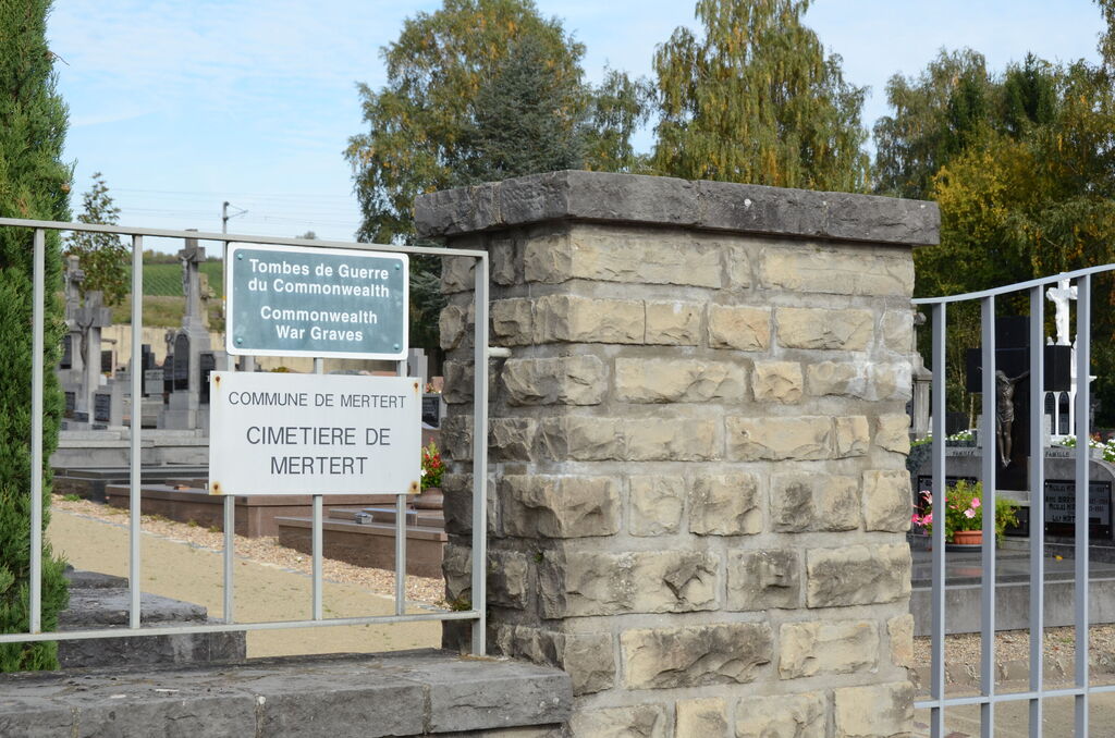
Mertert Communal Cemetery
- Country Luxembourg
- Total identified casualties 2 Find these casualties
- Identified casualties from Second World War
- GPS Coordinates Latitude: 49.7027, Longitude: 6.48557
Location information
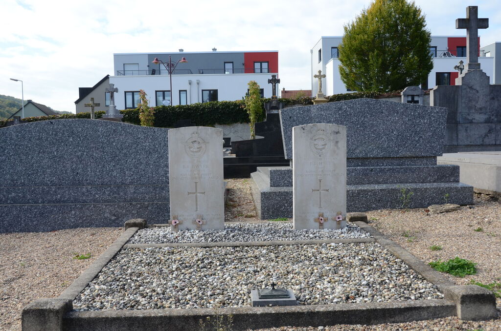
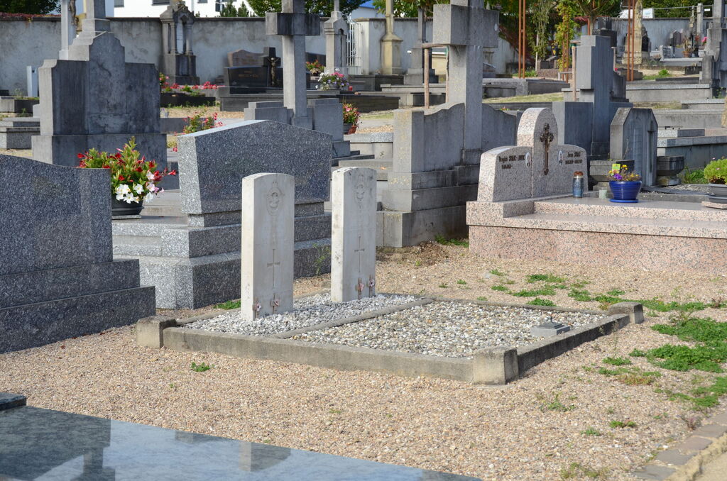
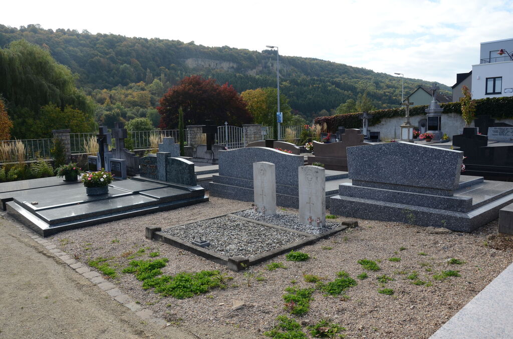
Mertert is a village on the west bank of the river Moselle. It lies 32 kilometres east-north-east of Luxembourg, the capital of the Grand Duchy, on the road to Treves (Germany). The cemetery is in the north-eastern outskirts of the village in the Rue Basse, the lower (river) road to Wasserbillig. The Commonwealth burials are in the south-east part of the cemetery. GPS Co-ordinates: Longitude 06°29'08", Latitude 49°42'09"
History information
Merteret Communal Cemetery contains the graves of two airmen of the Second World War.