Heinerscheid (Hupperdange) Churchyard
- Country Luxembourg
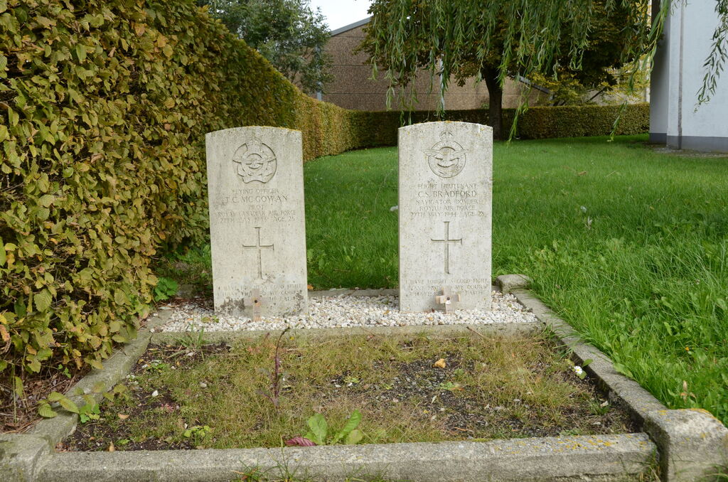
- Total identified casualties 2 Find these casualties
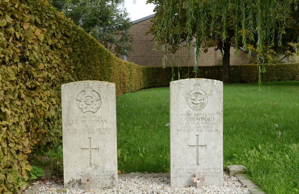
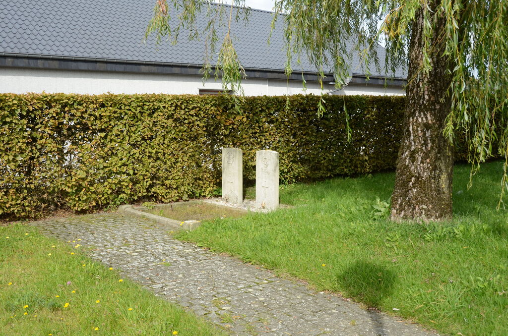
- Identified casualties from Second World War
- GPS Coordinates Latitude: 50.09425, Longitude: 6.05958
Location information
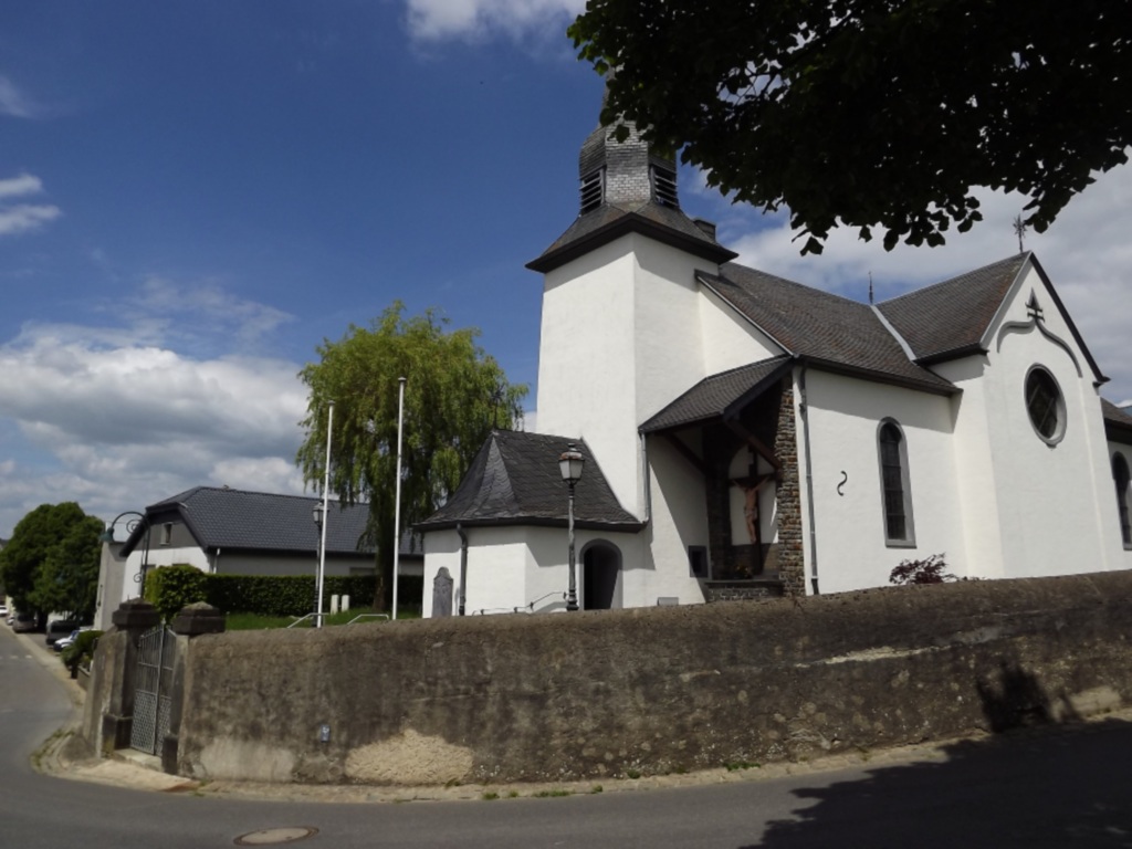
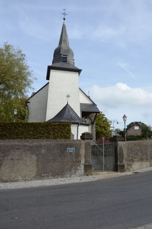
Heinerscheid is 35 kilometres north-north-west of Diekirch, astride the main road to St.Vith (Belgium). Hupperdange, a small agricultural village, is 2 kilometres west of Heinerscheid, by which it is administered. The churchyard partly surrounds the church, which is in the centre of the village. The Commonwealth war graves are in the north-west part of the churchyard, and are the only two left. GPS Co-ordinates: Longitude 06°03'33", Latitude 50°05'39"
History information
Heinerscheid Churchyard contains the graves of two airmen of the Second World War.