Lommel (Werkplaatsen) Communal Cemetery
- Country Belgium
- Total identified casualties 1 Find these casualties
- Region Limburg (Belgium)
- Identified casualties from Second World War
- GPS Coordinates Latitude: 51.22485, Longitude: 5.26417
Location information
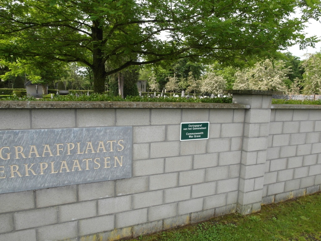
The village of Lommel is located north-east of the town of Mol on the N71. From the motorway E313, which runs between Antwerpen and Liege, turn off at junction 23 Geel-West and onto the N19 direction Geel. Follow the N19 to the junction with the N71 and turn onto the N71 direction Turnhout. Follow the N71 past the junction with the N769, Ringlaan, direction Mol. Look for sign on right hand side to Werkplaatsen and turn right at this junction (Martinus van Gurplaan). Pass the church and take first road on the right (Dalstraat) and the cemetery is down this road on the right. The Commonwealth war grave is located to the left of the entrance by the left hand boundary wall.
History information
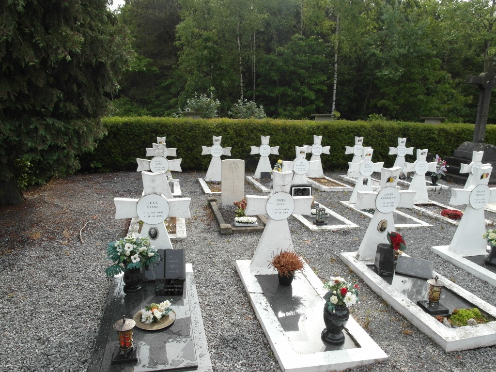
The British Expeditionary Force was involved in the later stages of the defence of Belgium following the German invasion in May 1940, and suffered many casualties in covering the withdrawal to Dunkirk. Commonwealth forces did not return until September 1944, but in the intervening years, many airmen were shot down or crashed in raids on strategic objectives in Belgium, or while returning from missions over Germany. Lommel (Werkplaatesn) Communal Cemetery contains one Commonwealth burial of the Second World War, which is in the Belgian pelouse d'honneur.