Koersel Communal Cemetery
- Country Belgium
- Total identified casualties 5 Find these casualties
- Region Limburg (Belgium)
- Identified casualties from Second World War
- GPS Coordinates Latitude: 51.05687, Longitude: 5.27065
Location information
Koersel is situated north-east of Leuven off the N719. From the E314 motorway turn off at the junction of the N72 and follow the N72 in the direction of Beringen. At the junction of the N72 and N719, turn right onto the N719 in the direction of Heusden. At the crossroads in Heusden turn left into Koerselsebaan in the direction of Koersel. On entering Koersel the road name changes to Pieter Vanhoudstraat. The cemetery is located down a small lane on the left, next to a 'Frituur' and opposite the 'Doowhat' cafe.
History information
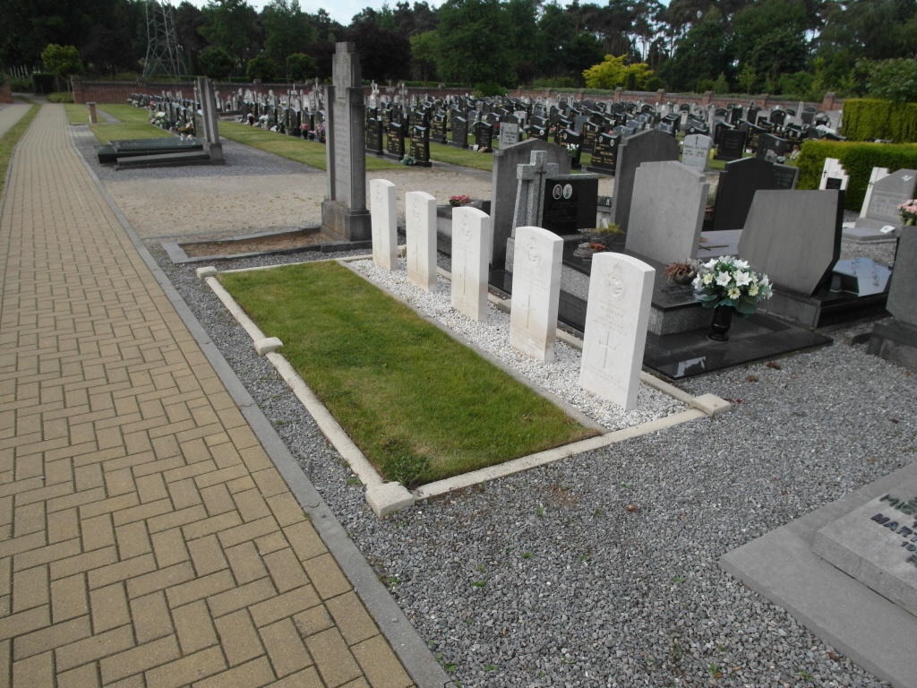
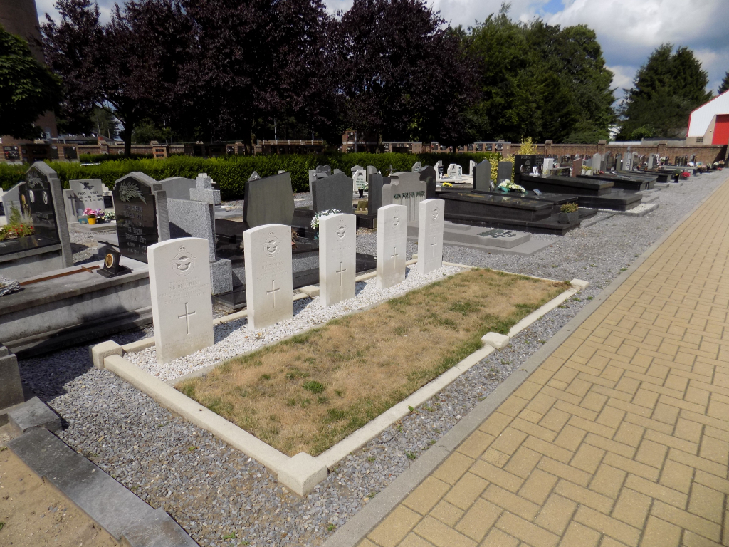
The British Expeditionary Force was involved in the later stages of the defence of Belgium following the German invasion in May 1940, and suffered many casualties in covering the withdrawal to Dunkirk. Commonwealth forces did not return until September 1944, but in the intervening years, many airmen were shot down or crashed in raids on strategic objectives in Belgium, or while returning from missions over Germany. Koersel Communal Cemetery contains the graves of five airmen of the Second World War.