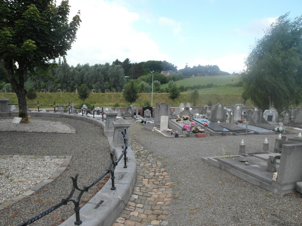
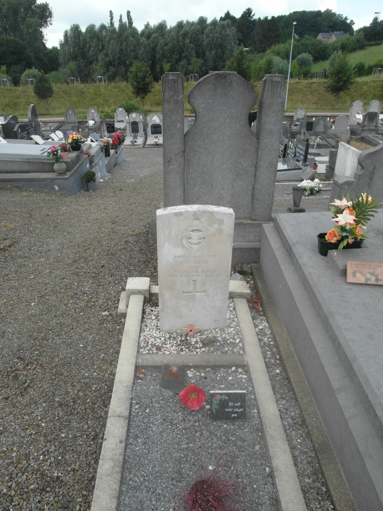
Soumagne Communal Cemetery
- Country Belgium
- Total identified casualties 1 Find these casualties
- Region Liege
- Identified casualties from Second World War
- GPS Coordinates Latitude: 50.62007, Longitude: 5.74413
Location information
The village of Soumagne is located north-west of the town of Verviers on the N604. From the motorway E40/A3 which runs between Liege and Aachen turn off at junction 37 and onto the N3 direction Micheroux. Follow the N3 to the junction with the N604, turn left here into Rue De L'Egalite, the cemetery is just before the village of Soumagne on the right. The grave is located in the centre of the cemetery by the memorial.
History information
The British Expeditionary Force was involved in the later stages of the defence of Belgium following the German invasion in May 1940, and suffered many casualties in covering the withdrawal to Dunkirk. Commonwealth forces did not return until September 1944, but in the intervening years, many airmen were shot down or crashed in raids on strategic objectives in Belgium, or while returning from missions over Germany. Soumagne Communal Cemetery contains the grave of one airman of the Second World War.