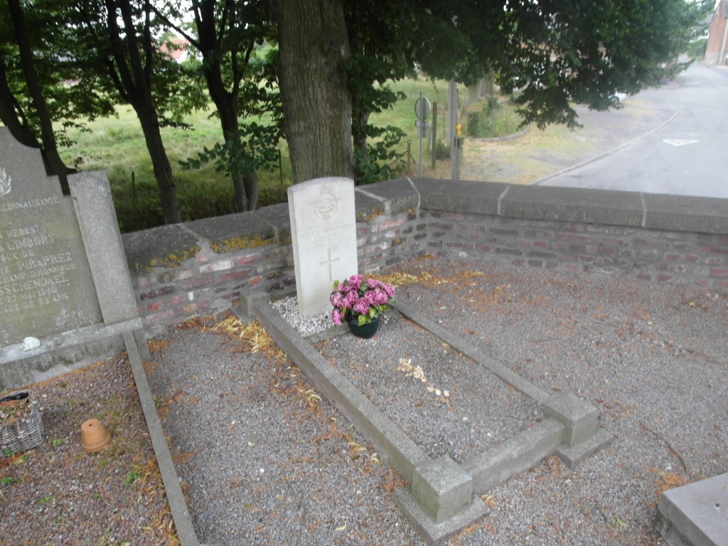
Hanneche Churchyard
- Country Belgium
- Total identified casualties 1 Find these casualties
- Region Liege
- Identified casualties from Second World War
- GPS Coordinates Latitude: 50.57964, Longitude: 5.04921
Location information
The village of Hanneche is located south-west of the town of Waremme off the N80. From the motorway E40/A3 which runs between Brussels and Luik turn off at junction 28 and onto the N80 direction Hannut. Follow the N80 through Hannut, Moxhe and Burdinne, Hanneche is then the next village. At the crossroads with the sign for Hanneche turn right into rue de la Raperie, at the next junction turn right into rue Sint-Lambert and the church is on the right. The grave is located on the right hand side of the cemetery from the church.
History information
The British Expeditionary Force was involved in the later stages of the defence of Belgium following the German invasion in May 1940, and suffered many casualties in covering the withdrawal to Dunkirk. Commonwealth forces did not return until September 1944, but in the intervening years, many airmen were shot down or crashed in raids on strategic objectives in Belgium, or while returning from missions over Germany. Hanneche Churchyard contains the grave of one airman of the Second World War.