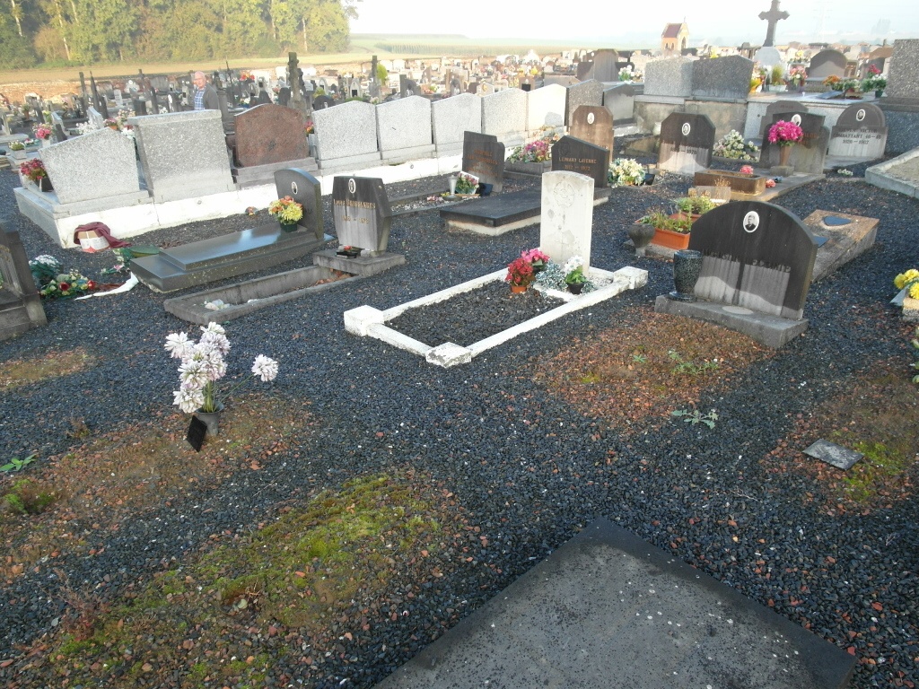
Peronnes (Charbonnage) Communal Cemetery
- Country Belgium
- Total identified casualties 1 Find these casualties
- Region Hainaut
- Identified casualties from Second World War
- GPS Coordinates Latitude: 50.43285, Longitude: 4.17999
Location information
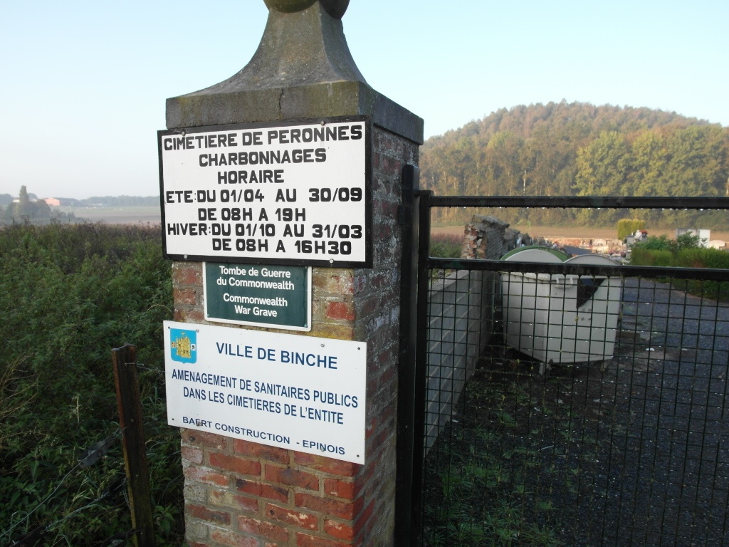
Peronnes is a village located south of the town at La Louviere, 5kms north-west from the town of Binche. At the end of the E19 motorway, follow on across the traffic light junction onto the N55. Follow the road for approximately 1.5 km.until you reach the roundabaout and then take the third exit onto the N563 in the direction of Morlanwelz. Take the first street on your left which is the Rue Joseph Wauters. Continue down the street for about 500m until you see the church on your left. Park on the square in front of the church and the cemetery is located in the fields 100m to the rear of the church. When approaching the church from the parking area walk along the narrow path that is on the right of the church and this will lead to the cemetery.
History information
The British Expeditionary Force was involved in the later stages of the defence of Belgium following the German invasion in May 1940, and suffered many casualties in covering the withdrawal to Dunkirk. Commonwealth forces did not return until September 1944, but in the intervening years, many airmen were shot down or crashed in raids on strategic objectives in Belgium, or while returning from missions over Germany. Peronnes (Charbonnage) Communal Cemetery contains the grave of one Commonwealth airman of the Second World War.