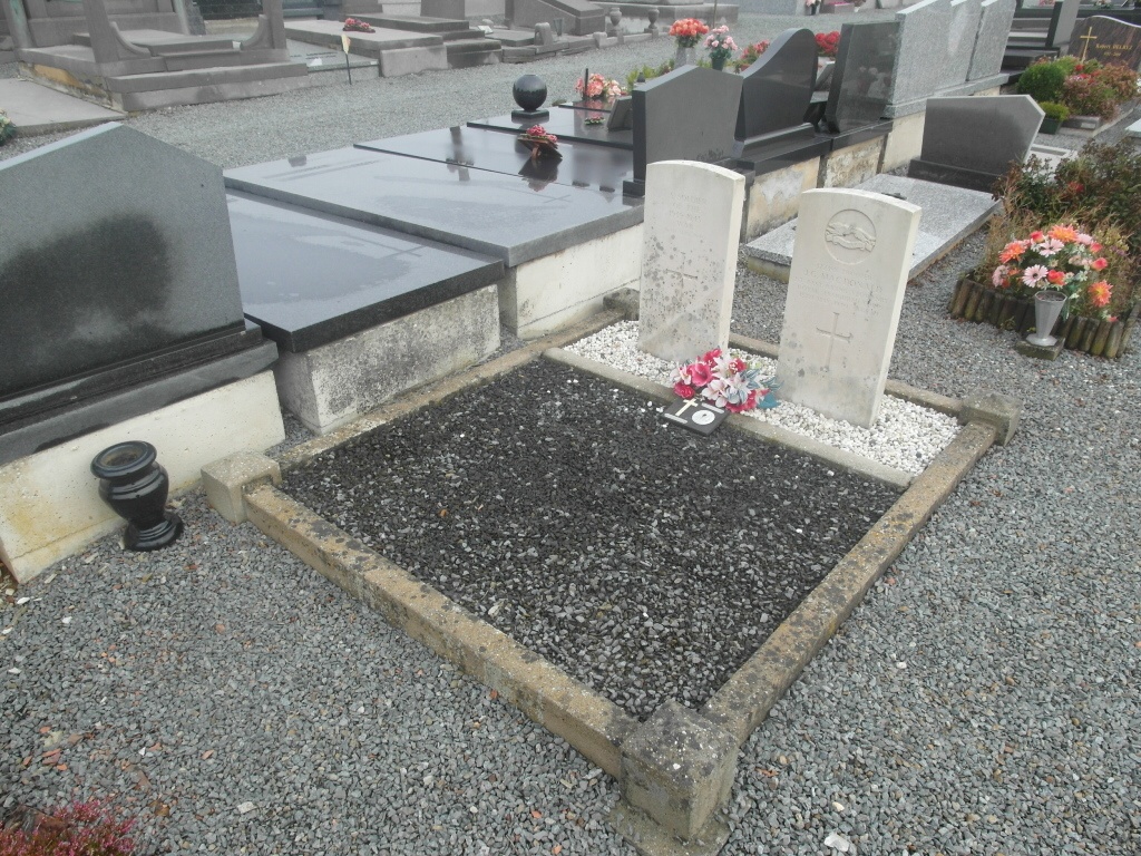
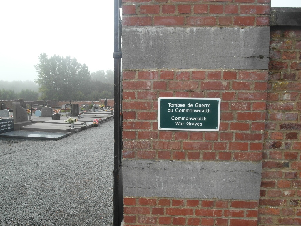
Graty Communal Cemetery
- Country Belgium
- Total identified casualties 1 Find these casualties
- Region Hainaut
- Identified casualties from Second World War
- GPS Coordinates Latitude: 50.63472, Longitude: 3.99739
Location information
The village of Graty is located north-west of the town of Soignies off the N57. From the motorway A8 which runs between Brussels and Ath, turn off onto the N55 direction Soignies. Follow this road to the village of Hoves, turn right into rue de Graty and follow this road to Graty. On entering the village turn left into rue de Long-Bois and the cemetery is along on the right. The graves are located to the rear of the cemetery to the left of the centre path.
History information
The British Expeditionary Force was involved in the later stages of the defence of Belgium following the German invasion in May 1940, and suffered many casualties in covering the withdrawal to Dunkirk. Graty Communal Cemetery contains two Commonwealth burials of the Second World War, one of which is unidentified.