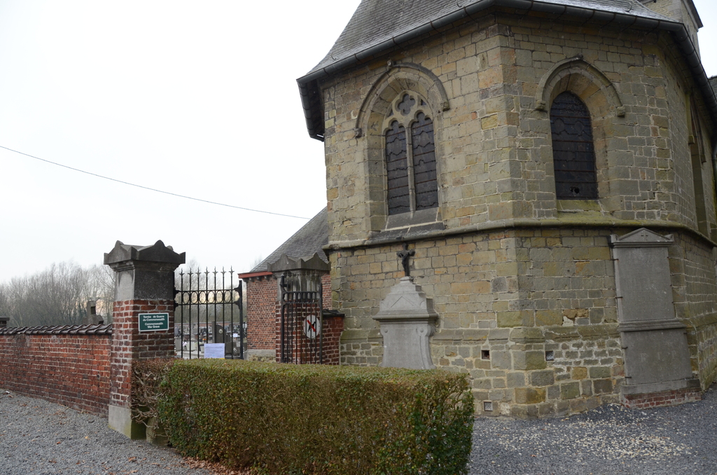
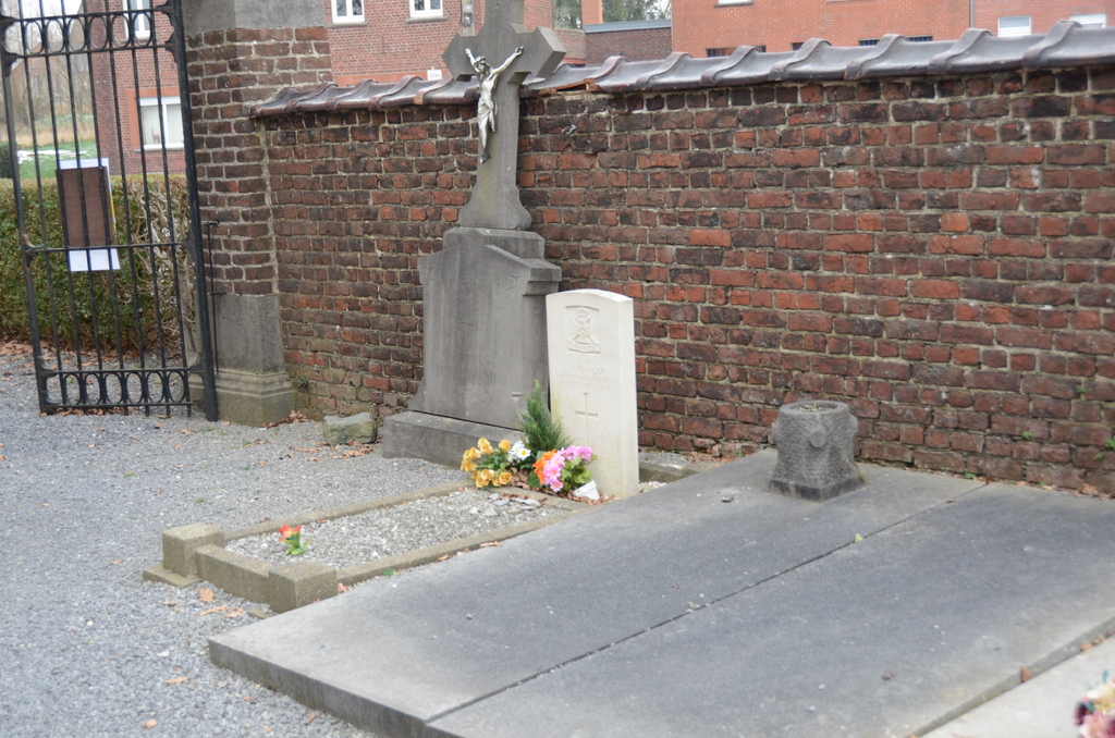
Grandmetz Churchyard
- Country Belgium
- Total identified casualties 1 Find these casualties
- Region Hainaut
- Identified casualties from Second World War
- GPS Coordinates Latitude: 50.6226, Longitude: 3.63246
Location information
The village of Grandmetz is located east of Tournai on the N60. From the E42 motorway turn off at junction 32 and onto the N7. Follow the N7 in the direction of Gaurain-Ramecroix and continue along the N7 to the village of Leuze-En-Hainaut and the junction with N60. Turn left onto the N60 direction Grandmetz. Follow the N60 to the crossroads and turn right to Grandmetz along rue des Longues Tetes. Turn right before the railway and follow the railway to the crossing, turn left over the crossing and the church is on the right.
History information
The British Expeditionary Force was involved in the later stages of the defence of Belgium following the German invasion in May 1940, and suffered many casualties in covering the withdrawal to Dunkirk.
Grandmetz Churchyard contains one Commonwealth burial of the Second World War.