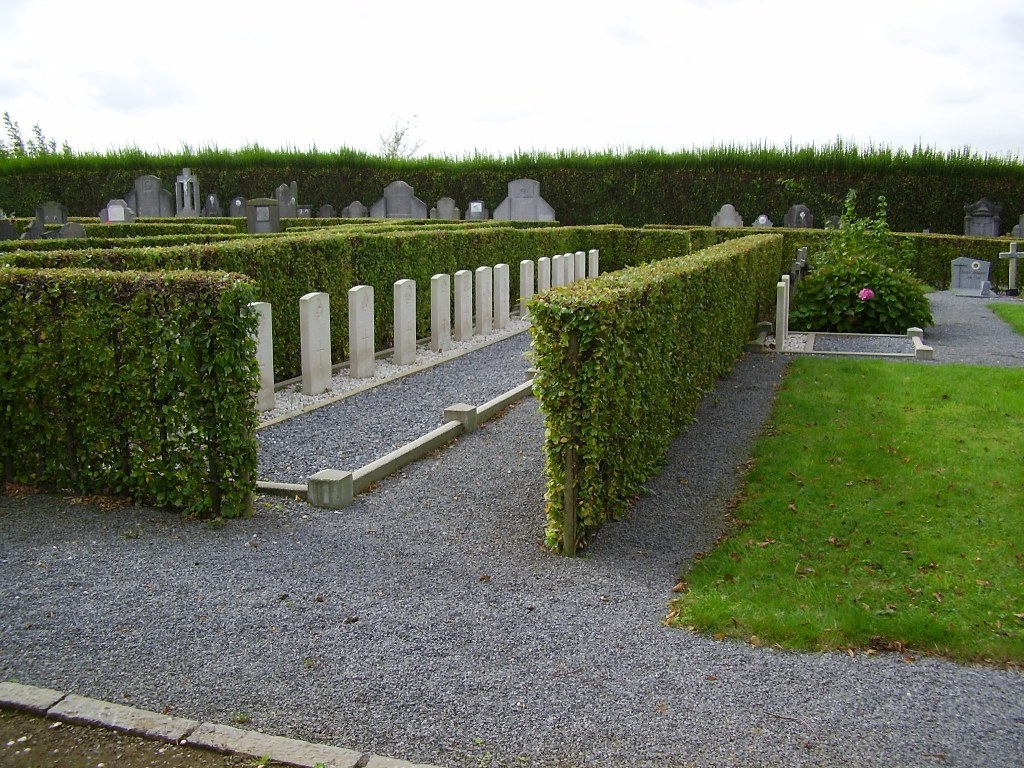
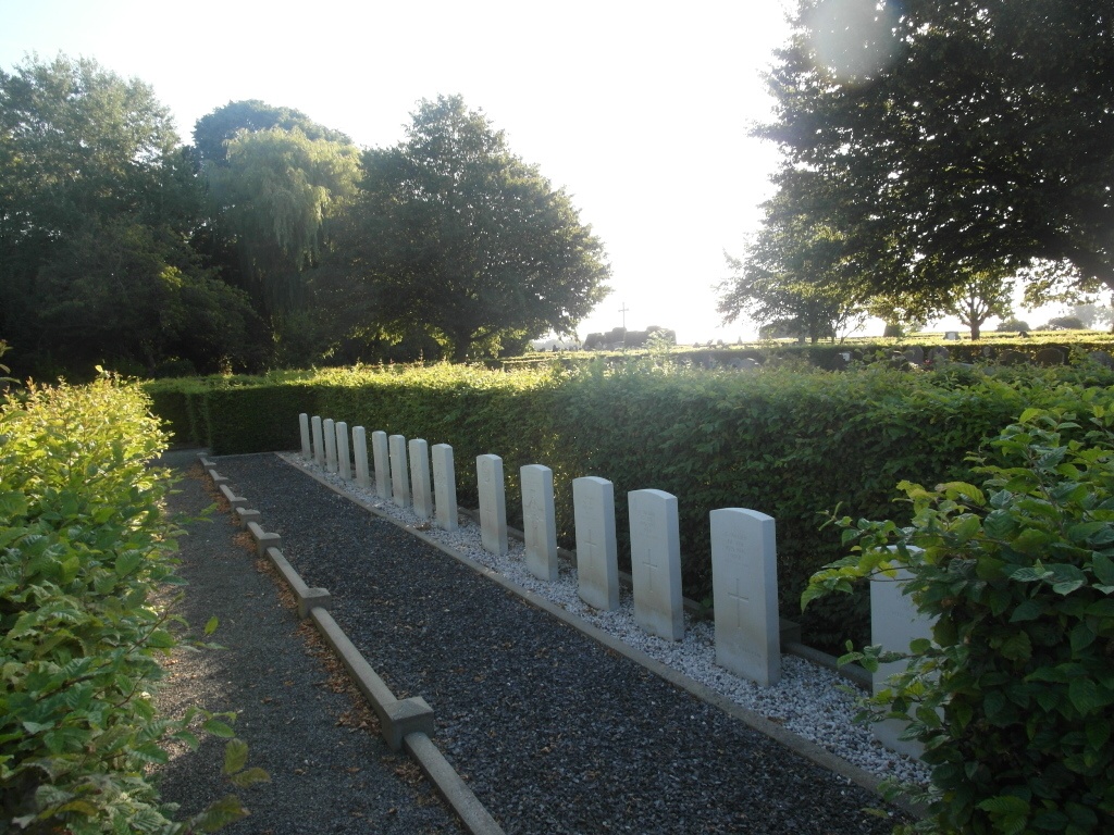
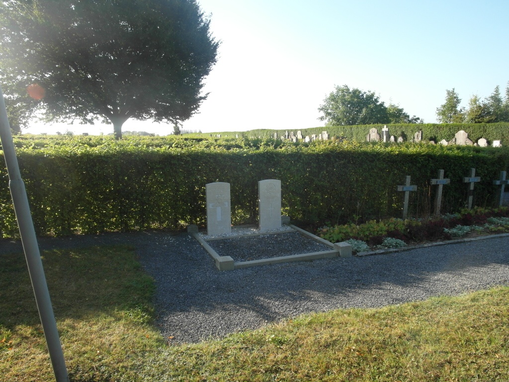
Ath (Lorette) Communal Cemetery
- Country Belgium
- Total identified casualties 13 Find these casualties
- Region Hainaut
- Identified casualties from Second World War
- GPS Coordinates Latitude: 50.63449, Longitude: 3.79704
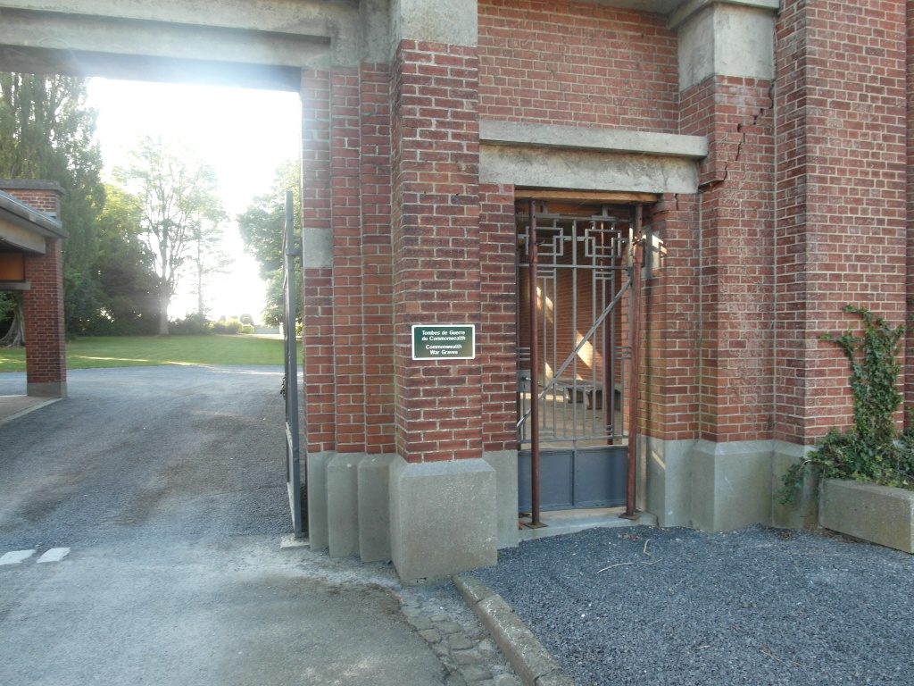
Location information
The town of Ath is located east of the town of Tournai on the N7. From the motorway E42 turn off at junction 32 onto the N7 direction Barry/Ath. Follow the N7 through Gaurain-Ramecroix, Barry, Leuze-en-Hainaut and Ligne to Ath. Keeping on the N7 go round the town and after crossing the railway for the second time take the first turning off, this road is called chaussee de Bruxelles. Then take the first turning left into dreve du Silence, the cemetery is at the end of this road. The graves are located to the right of the entrance in plots 2 and 15.
History information
The British Expeditionary Force was involved in the later stages of the defence of Belgium following the German invasion in May 1940, and suffered many casualties in covering the withdrawal to Dunkirk. Commonwealth forces did not return until September 1944, but in the intervening years, many airmen were shot down or crashed in raids on strategic objectives in Belgium, or while returning from missions over Germany. Ath (Lorette) Communal Cemetery contains 17 Commonwealth burials of the Second World War, four of them unidentified.