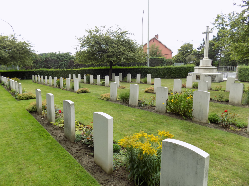
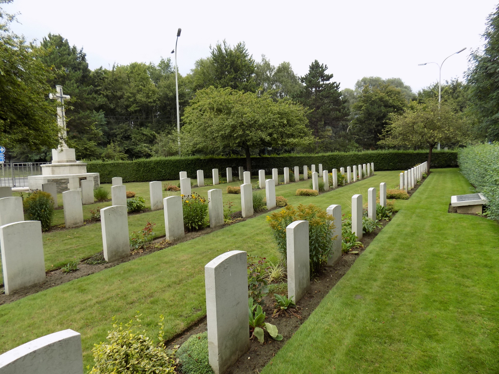
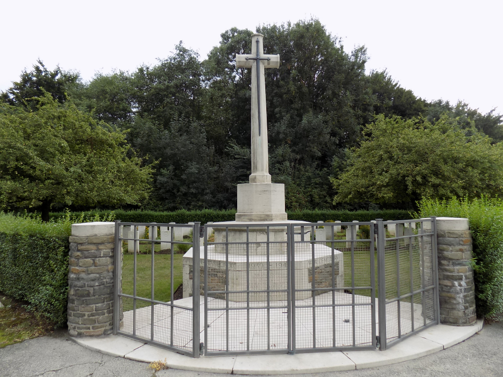
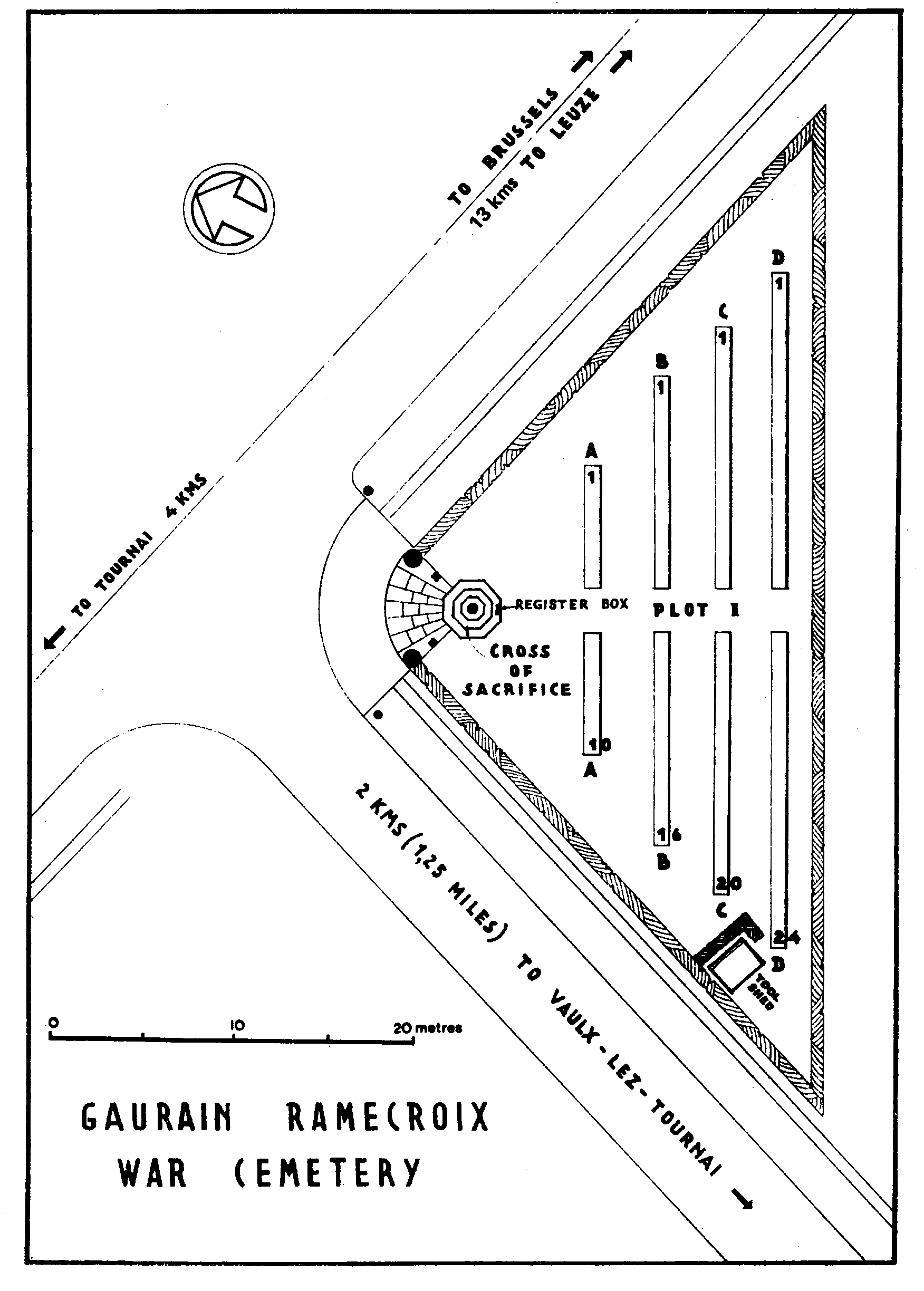
Gaurain-Ramecroix War Cemetery
- Country Belgium
- Total identified casualties 24 Find these casualties
- Region Hainaut
- Identified casualties from Second World War
- GPS Coordinates Latitude: 50.60015, Longitude: 3.44238
Location information
Gaurain-Ramecroix is a village in the Province of Hainaut, on the road from Tournai to Brussels, approximately 6 kilometres east of Tournai. Gaurain Ramecroix War Cemetery is located 3 km east of Tournai on the rue de Gros Lot, a road leading from the N7 chaussee de Bruxelles and on to Vaulx.
Visiting information
Wheelchair access to the cemetery is possible, but may be by an alternative entrance. For further information regarding wheelchair access, please contact our Enquiries Section on 01628 507200.
History information
The British Expeditionary Force was involved in the later stages of the defence of Belgium following the German invasion in May 1940, and suffered many casualties in covering the withdrawal to Dunkirk. The majority of the men buried here were killed in a German bombardment on 19 May 1940. Their remains were removed to the present site by the Belgian authorities in February 1941, from various burial places in the vicinity. The cemetery contains 70 Commonwealth burials of the Second World War, 46 of them unidentified.