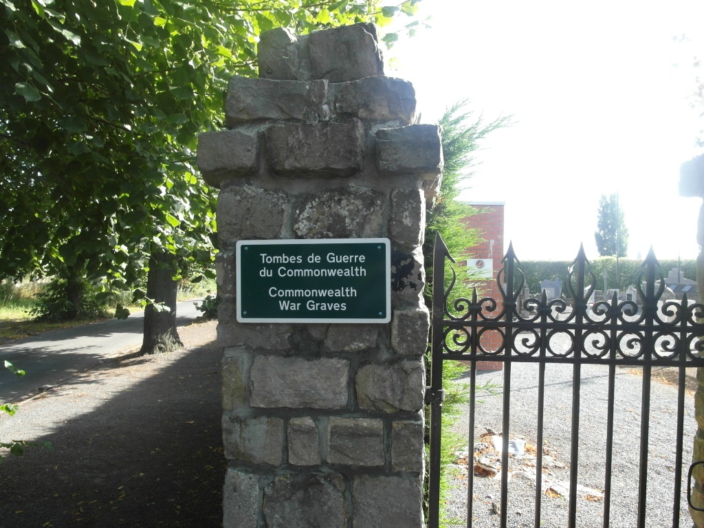
Warneton (Waasten) Communal Cemetery
- Country Belgium
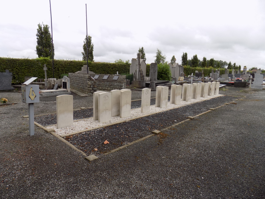
- Total identified casualties 18 Find these casualties
- Region Hainaut
- Identified casualties from Second World War
- GPS Coordinates Latitude: 50.75696, Longitude: 2.94814
Location information
Warneton (Waasten) Communal Cemetery is located 11.5 Km south east of Ieper town centre on a road leading from the Rijselsestraat N336 that connects Ieper to Bas Warneton then onto Lille. From Ieper town centre the Rijselsestraat runs from the market square, through the Lille Gate (Rijselpoort) and directly over the roundabout that forms the junction with the Ieper ring road. The road name then changes to the Rijselseweg. 3.5 Km along the N336 is another roundabout where the third exit is taken signed to Bas Warneton. On the outskirts of the village of Warneton the road passes under the N58. After passing under the N58 and the slip road, take the second left into Chemin Du Congo (Congoweg). The cemetery is 50m down this road on the left. The GPS co-ordinates for the cemetery are as follows : Latitude: 50 75 68 N Longitude: 02 94 82 E
Visiting information
Wheelchair access possible via main entrance. For further information regarding wheelchair access, please contact our Enquiries Department on telephone number: 01628 634221
History information
The British Expeditionary Force was involved in the later stages of the defence of Belgium following the German invasion in May 1940, and suffered many casualties in covering the withdrawal to Dunkirk. Warneton (Waasten) Communal Cemetery contains 21 Commonwealth burials of the Second World War, three of them unidentified.