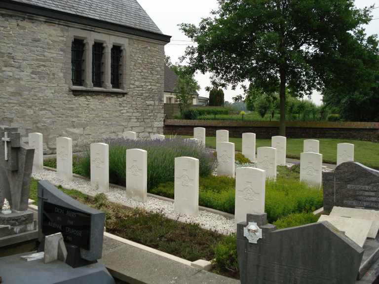
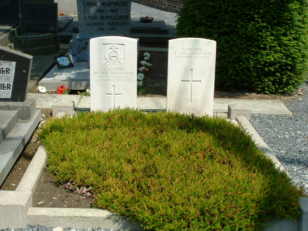
Waarmaarde Churchyard
- Country Belgium
- Total identified casualties 17 Find these casualties
- Region West-Vlaanderen
- Identified casualties from First & Second World War
- GPS Coordinates Latitude: 50.7894, Longitude: 3.48735
Location information
Waer Maerde (Waarmaarde) Churchyard is located 45 Km east of Ieper town centre and 21 Km east of Kortrijk on the N8 connecting Ieper to Kortrijk and onto Waer Maerde. The N8 is a continuous road running from Ieper to Elseghem via Menen (Menin), Wevelgem, Kortrijk, Zwevegem, Avelgem, and finally Waarmaarde. The village is approached via the Oudenaardsesteenweg (N8). On reaching the village the churchyard is located after the second right hand turning onto the O.L.Vrouwstraat. The churchyard is located on the left hand side of the road.
History information
The British Expeditionary Force was involved in the later stages of the defence of Belgium following the German invasion in May 1940, and suffered many casualties in covering the withdrawal to Dunkirk. Waarmaarde Churchyard contains 18 Commonwealth burials of the Second World War, one of which is unidentified, and two unidentified burials of the First World War.