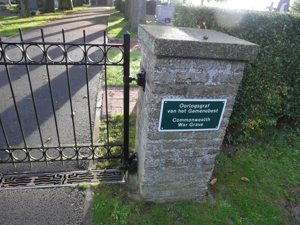
Oostkerke Communal Cemetery
- Country Belgium
- Total identified casualties 1 Find these casualties
- Region West-Vlaanderen
- Identified casualties from Second World War
- GPS Coordinates Latitude: 51.04562, Longitude: 2.7981
Location information
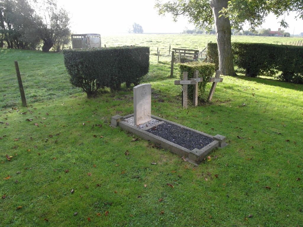
The village of Oosterke is about 5 kilometres north-west of the town of Diksmuide , off the N35 road which runs between Diksmuide and Nieuwpoort. Driving from Diksmuide go through the village of Kaaskerke and cross the railway, take the next turning on the left to Oostkerke, this is called Lettenburgstraat. Follow this into the village and at the crossroads turn left into Cayennestraat. The cemetery is on the left directly after a large barn. The grave is located at the bottom of the cemetery next to three military crosses.
History information
The British Expeditionary Force was involved in the later stages of the defence of Belgium following the German invasion in May 1940, and suffered many casualties in covering the withdrawal to Dunkirk. Commonwealth forces did not return until September 1944, but in the intervening years, many airmen were shot down or crashed in raids on strategic objectives in Belgium, or while returning from missions over Germany. Oostkerke Communal Cemetery contains the grave of one Commonwealth airman of the Second World War.