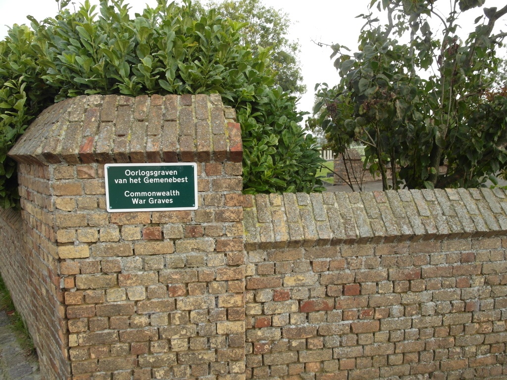
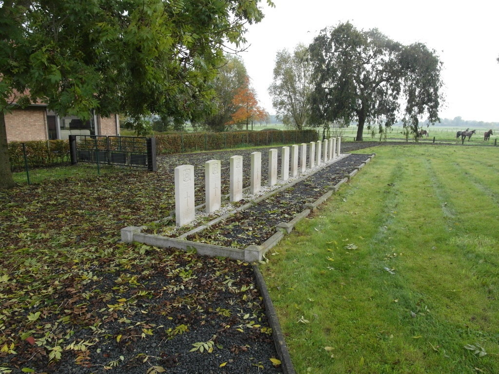
Noordschote Churchyard
- Country Belgium
- Total identified casualties 11 Find these casualties
- Region West-Vlaanderen
- Identified casualties from Second World War
- GPS Coordinates Latitude: 50.95524, Longitude: 2.81025

Location information
The village of Noordschote is located south of the town of Diksmuide (Dixmude), off the N369 which runs between Diksmuide and Ieper (Ypres). Driving from Diksmuide turn off the N369 into the village of Merkem, and in the village centre turn right along Westbroekstraat. At the first junction bear left towards Noordschote, this road is called Drie Grachtensteenweg, follow this road to Noordshcote and the church is on the right in the village. The graves are located on the left of the Church.
History information
The British Expeditionary Force was involved in the later stages of the defence of Belgium following the German invasion in May 1940, and suffered many casualties in covering the withdrawal to Dunkirk. Noordschote Churchyard contains 14 Commonwealth burials of the Second World War, three of them unidentified.