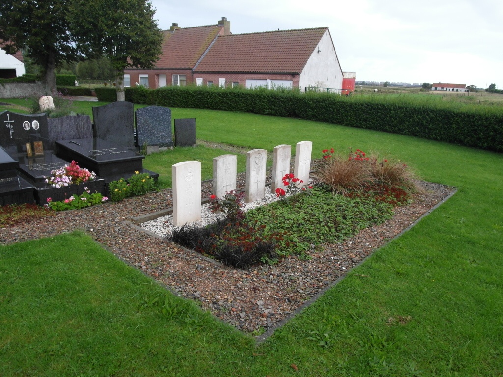
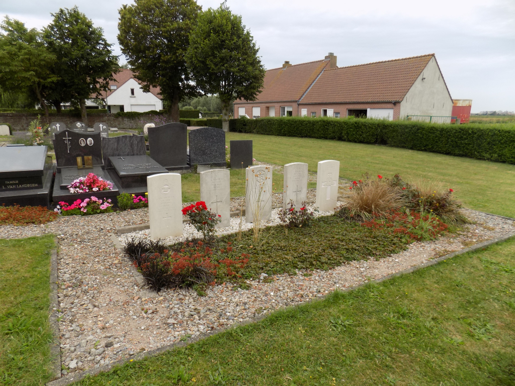
Nieuwmunster Churchyard
- Country Belgium
- Total identified casualties 2 Find these casualties
- Region West-Vlaanderen
- Identified casualties from Second World War
- GPS Coordinates Latitude: 51.27402, Longitude: 3.09826
Location information
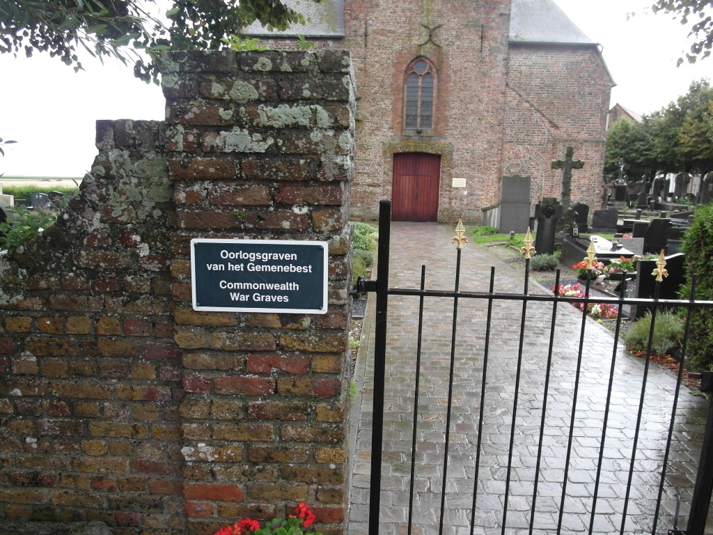
Nieuwmunster Churchyard is located midway between Oostende (19 km ) and Zeebrugge (12 km) on the N307, a road branching from the N34 which connects the two ports. From Oostende the N34 continues towards Slijkens (2 km) and on the Wenduine (14 km). At Wenduine lies the right hand turning onto the N307 which leads for 3 km to the village of Nieuwmunster. On reaching Nieuwmunster the churchyard is located on the Doelhofstraat. The graves are located in the North part of the churchyard. From the main entrance follow the path to the door of the church then turn left. Follow the small path around the church to the left and the graves will be seen to the left.
History information
The British Expeditionary Force was involved in the later stages of the defence of Belgium following the German invasion in May 1940, and suffered many casualties in covering the withdrawal to Dunkirk. Commonwealth forces did not return until September 1944, but in the intervening years, many airmen were shot down or crashed in raids on strategic objectives in Belgium, or while returning from missions over Germany. Nieuwmunster Churchyard contains five Commonwealth burials of the Second World War, three of them undientified.