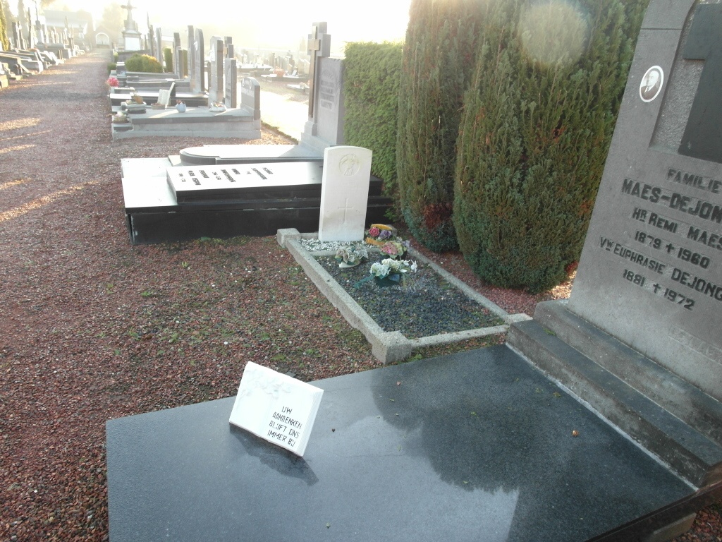
Lendelede Communal Cemetery
- Country Belgium
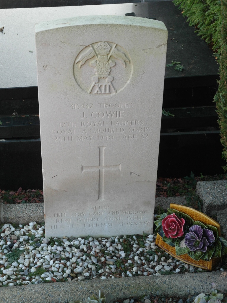
- Total identified casualties 1 Find these casualties
- Region West-Vlaanderen
- Identified casualties from Second World War
- GPS Coordinates Latitude: 50.88787, Longitude: 3.24111
Location information
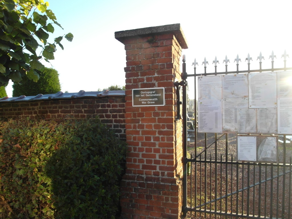
The village of Lendelede is located 8 kilometres north of the town of Kortrijk, off the N36/N50 which runs between Kortrijk and Izegem. Driving from Kortrijk take the N50 to the junction with the N36, turn left onto the N36 and follow this road to Lendelede. Cross over the railway and take the first turning left called Rozebeeksestraat, along here to the first turning right called Ingelmunstersestraat. Turn right here and the cemetery is on the right. The grave is located through the entrance and 15 metres up the path on the right.
History information
The British Expeditionary Force was involved in the later stages of the defence of Belgium following the German invasion in May 1940, and suffered many casualties in covering the withdrawal to Dunkirk. Lendelede Communal Cemetery contains one Commonwealth burial of the Second World War.