Houthulst Churchyard
- Country Belgium
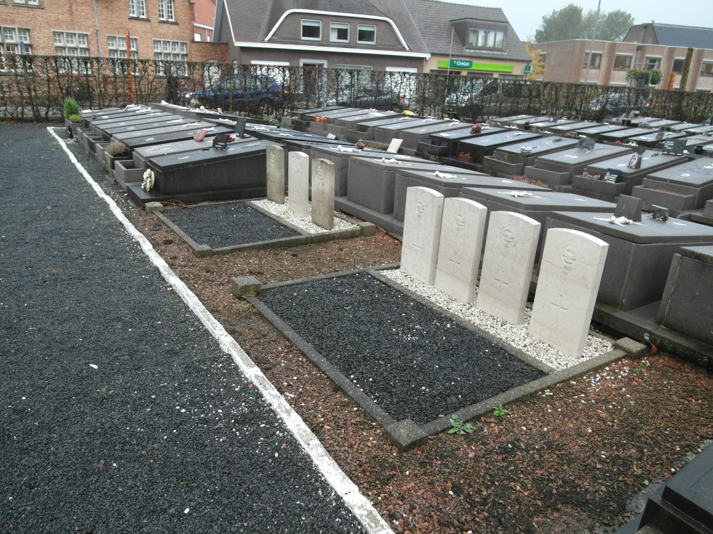
- Total identified casualties 7 Find these casualties
- Region West-Vlaanderen
- Identified casualties from Second World War
- GPS Coordinates Latitude: 50.97805, Longitude: 2.95089
Location information
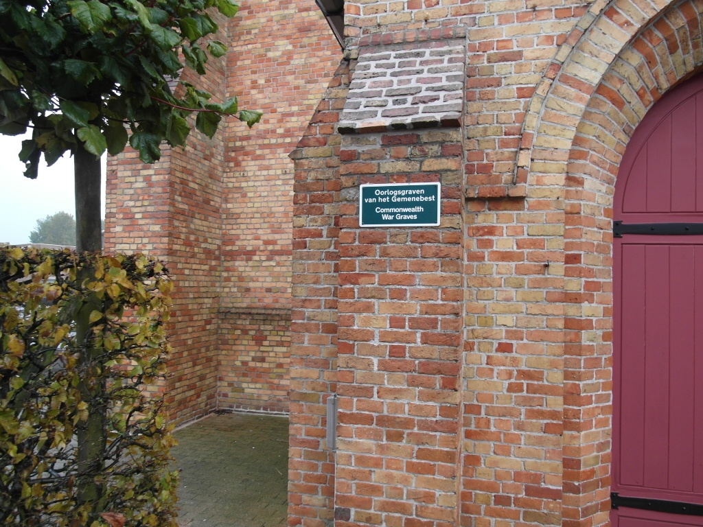
The village of Houthulst is located south of the town of Diksmuide off the N369 which runs between Veurne and Ieper. Driving out of Diksmuide you come to the village of Woumen, take the left hand turning signed to Klerken. Follow this road into Klerken and you come to a T junction. Turn right on the N301 direction Houthulst. At the cross roads go straight across into Poelkapellestraat then take the first left into Eug.de Grootelaan. Take the third left into Lindestraat and the church can be seen directly in front of you. Enter the churchyard by the main entrance and as you reach the main door turn left and follow the narrow path. The seven war graves are on the right hand side of the path about 15 meters from the church.
History information
The British Expeditionary Force was involved in the later stages of the defence of Belgium following the German invasion in May 1940, and suffered many casualties in covering the withdrawal to Dunkirk. Commonwealth forces did not return until September 1944, but in the intervening years, many airmen were shot down or crashed in raids on strategic objectives in Belgium, or while returning from missions over Germany. Houthulst Churchyard contains seven Commonwealth burials of the Second World War.