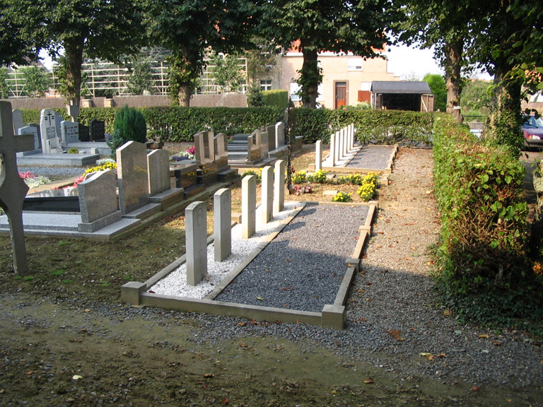
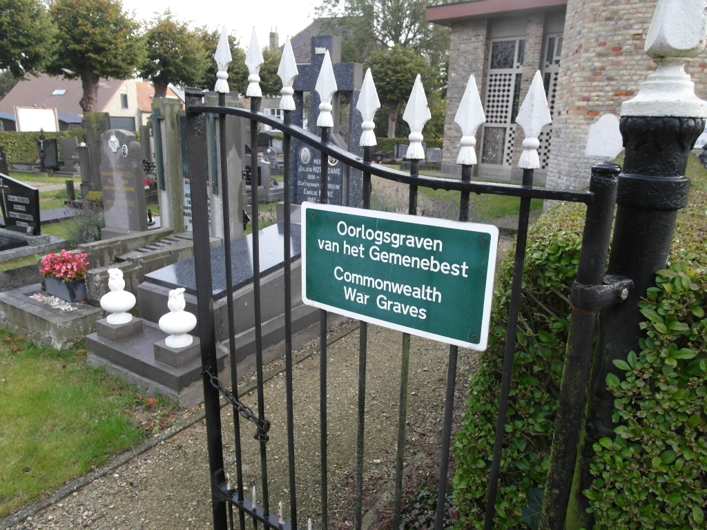
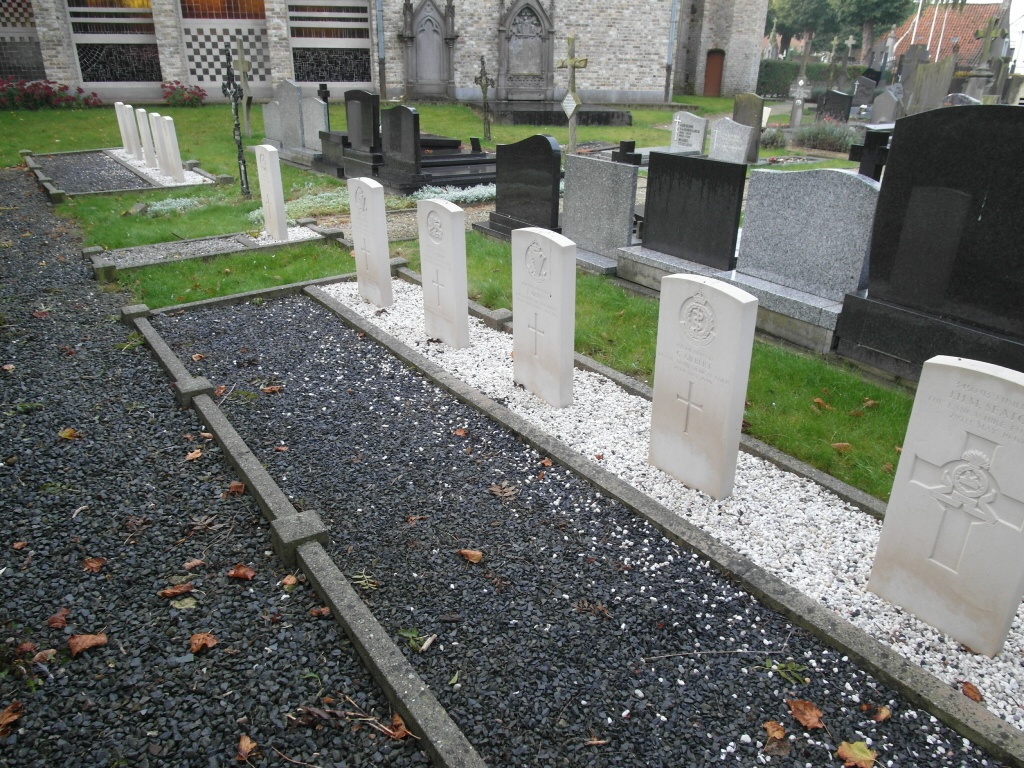
Hoogstade Churchyard
- Country Belgium
- Total identified casualties 12 Find these casualties
- Region West-Vlaanderen
- Identified casualties from Second World War
- GPS Coordinates Latitude: 50.97931, Longitude: 2.692
Location information
The village of Hoogstade is located south of the town of Veurne on the N8, which runs between Veurne and Ieper. Driving north from Ieper pass the crossroads for the junction with the N364 and Hoogstade is the next village. Take the second turning right into the village which is Kerkstraat and the first turning right, the church is on your right. The graves are at the rear of the churchyard on the left of the church.
History information
The British Expeditionary Force was involved in the later stages of the defence of Belgium following the German invasion in May 1940, and suffered many casualties in covering the withdrawal to Dunkirk.
Hoogstade Churchyard contains 12 Commonwealth burials of the Second World War.