Eernegem Communal Cemetery
- Country Belgium
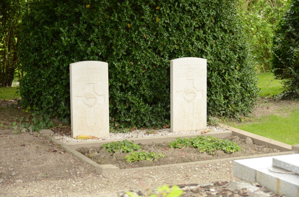
- Total identified casualties 2 Find these casualties
- Region West-Vlaanderen
- Identified casualties from Second World War
- GPS Coordinates Latitude: 51.13098, Longitude: 3.02327
Location information
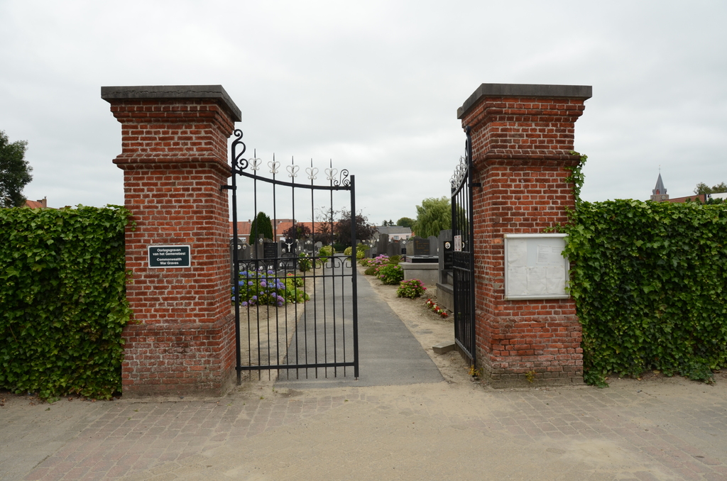
The village of Eernegem is located south of Gistel on the N33 which runs between Oostende and Torhout. Driving south from Gistel on the N33 turn left onto the N306 direction Eernegem, cross the railway and take the third turning on the left called Kerkhofstraat. The cemetery is on the right. From the main entrance walk to the end of the main path and the graves of 2 New Zealand airmen are to the right.
History information
The British Expeditionary Force was involved in the later stages of the defence of Belgium following the German invasion in May 1940, and suffered many casualties in covering the withdrawal to Dunkirk. Commonwealth forces did not return until September 1944, but in the intervening years, many airmen were shot down or crashed in raids on strategic objectives in Belgium, or while returning from missions over Germany. Eernegem Communal Cemetery contains the graves of two Commonwealth airmen of the Second World War.