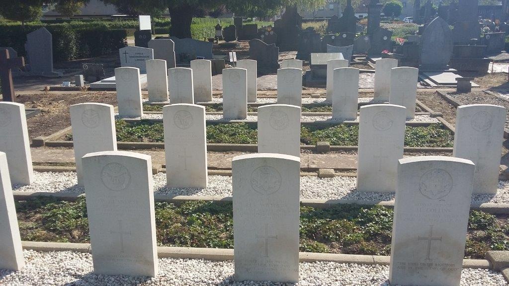
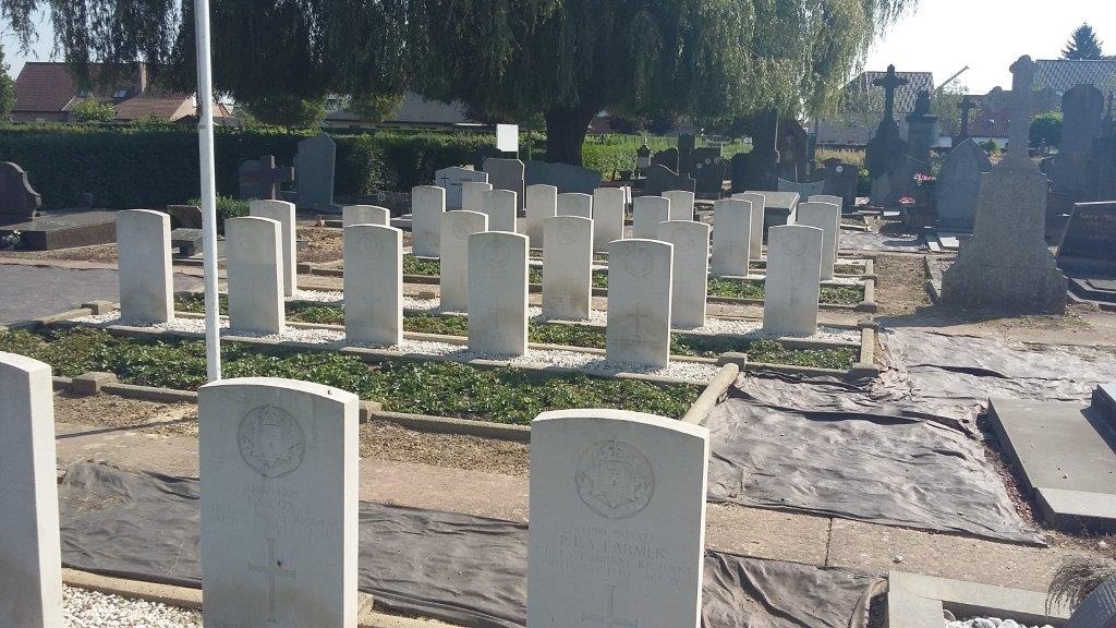
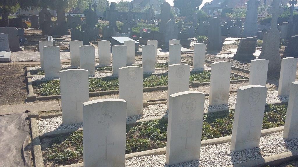
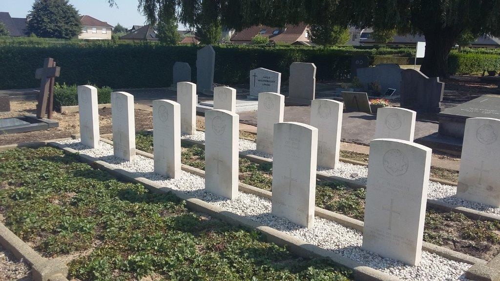
Avelgem Communal Cemetery
- Country Belgium
- Total identified casualties 23 Find these casualties
- Region West-Vlaanderen
- Identified casualties from Second World War
- GPS Coordinates Latitude: 50.77841, Longitude: 3.44203
Location information
Avelgem Communal Cemetery is located 43 Km east of Ieper on the N8 which connects Ieper to Menen, Kortrijk and on to Avelgem. The N8 is a continuous road running from Ieper to Avelgem via Menen, Wevelgem, Kortrijk, Zwevegem and on to Avelgem. The village is approached along the N8 Kortrijkstraat which leads onto the Gemeenteplein. The cemetery is located on the first left hand turning after leaving the Gemeenteplein in a street called Kerkhofstraat. The cemetery is located on the right hand side of Kerkhofstraat.
Visiting information
Wheelchair access is possible via the main entrance. For further information regarding wheelchair access, please contact our Enquiries Section on enquiries@cwgc.org or 01628 507200.
History information
The British Expeditionary Force was involved in the later stages of the defence of Belgium following the German invasion in May 1940, and suffered many casualties in covering the withdrawal to Dunkirk.
Avelgem Communal Cemetery contains 26 Commonwealth burials of the Second World War, three of them unidentified.