Poigny-La-Foret Communal Cemetery
- Country France
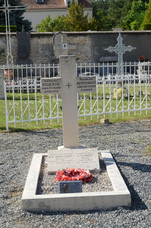
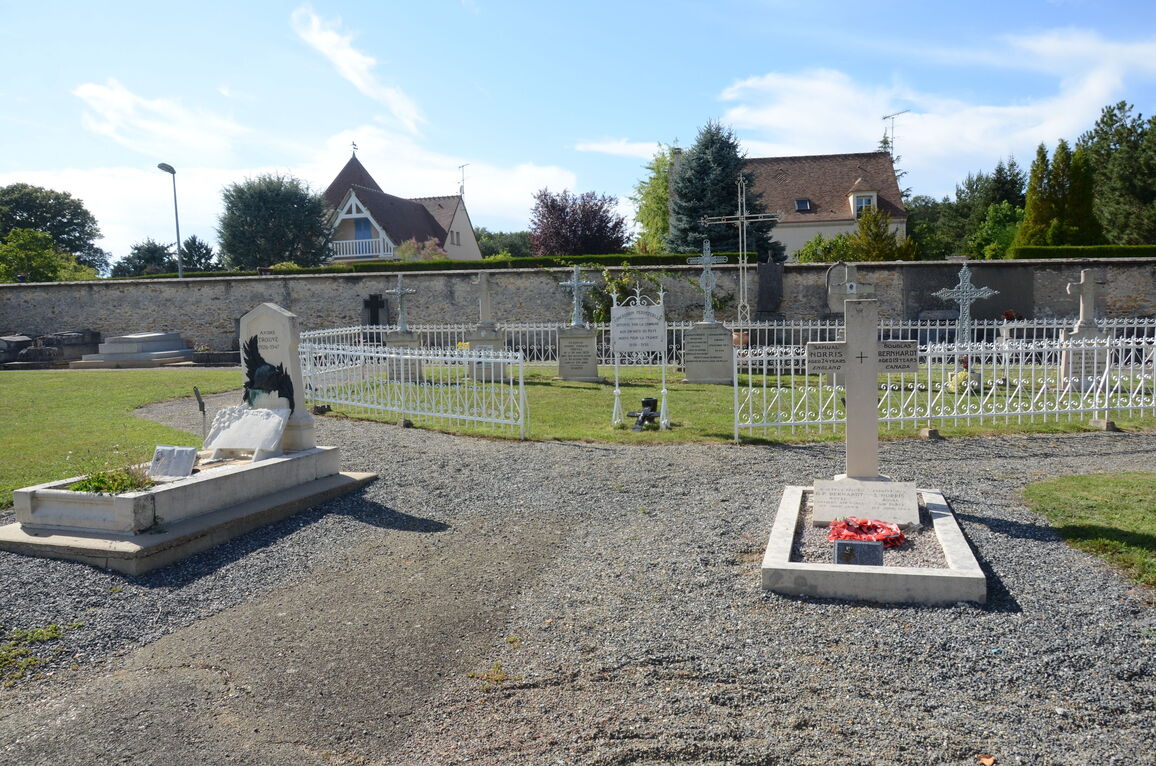
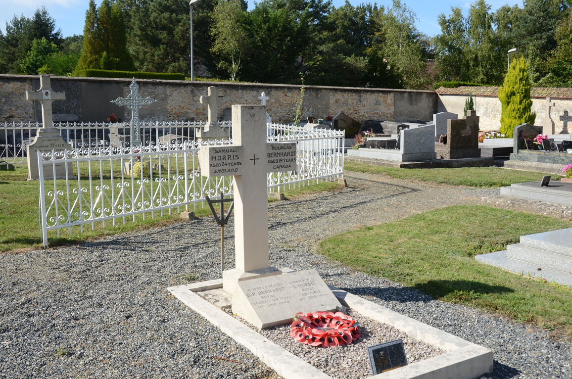
- Total identified casualties 2 Find these casualties
- Region Yvelines
- Identified casualties from Second World War
- GPS Coordinates Latitude: 48.681, Longitude: 1.75702
Location information
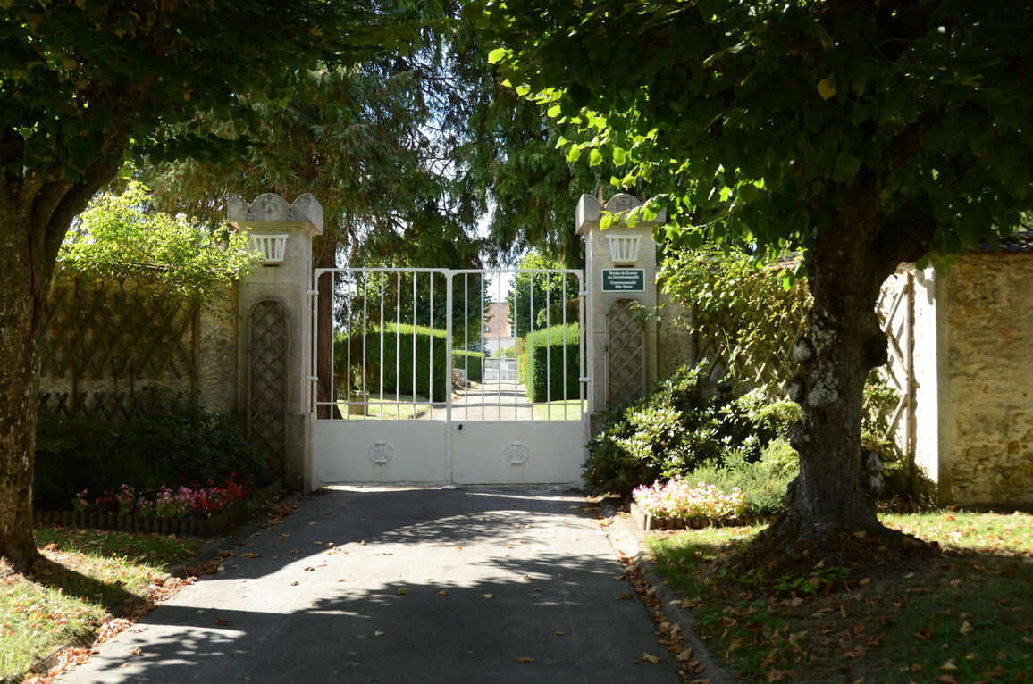
Poigny-la-Foret is a village and commune in the Rambouillet Forest, 32 kilometres south-west of Versailles and 6 kilometres north-west of Rambouillet. The cemetery is north of the village on the road leading to the neighbouring village of St Leger-en-Yvelines. The two 1939-1945 Commonwealth war graves are on the east side of the central path.